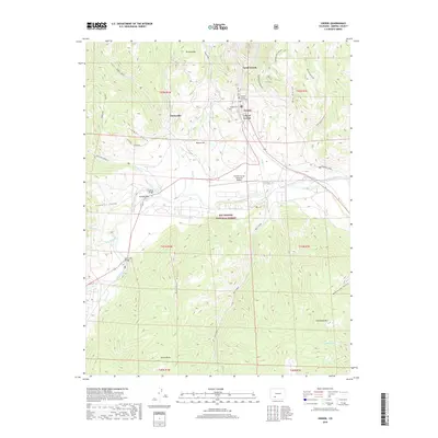
2019 Map of Creede
USGS Topo · Published 2019About this map
Creede sits at the northern end of a high valley where the waters of W Willow Cr and E Willow Cr converge to form Willow Cr. This 2019 survey shows the town’s layout nestled between steep canyon walls, with the Mineral County Courthouse serving as a central landmark. To the north, the small settlement of North Creede follows the narrow canyon floor, while the surrounding peaks of Bulldog Mtn and Monon Hill define the immediate topography.
Find a feature on this map
45 named features on this map. Tap any name to fly to it.
Don’t see what you’re looking for? This feature index may not catch every label — zoom into the map to look around manually.
Map Details
Editions of this 2019 Creede Map
This is the sole edition of this map. No revisions or reprints were ever made.
Other maps of this area

1905 · San Cristobal
USGS Topo · 1:125,000

1907 · San Cristobal
USGS Topo · 1:125,000

1914 · Creede
USGS Topo · 1:125,000

1916 · Creede
USGS Topo · 1:125,000

1945 · Durango
USGS Topo · 1:250,000

1953 · Durango
USGS Topo · 1:250,000

1954 · Durango
USGS Topo · 1:250,000

1957 · Spar City
USGS Topo · 1:62,500

1959 · Creede
USGS Topo · 1:62,500

1959 · Bristol Head
USGS Topo · 1:62,500