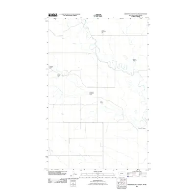
2011 Map of Creedman Coulee East
USGS Topo · Published 2011About this map
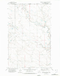
Lodge Creek winds through the northern Montana landscape of Hill County in this 2011 survey, marking a terrain defined by its complex drainage systems and water management. The area is characterized by several coulees, including Creedman Coulee, South Fork Greenman Coulee, and Kahn Coulee, which dictate the local topography. This map reveals a series of localized irrigation and water storage efforts, evidenced by the presence of the Edward Enterprises Dam, Creedman Number 2 Dam, Hanson Coulee Dam, and Schotish Dam. These features illustrate the vital role of water engineering in this prairie environment. Transportation is limited to a grid of rural routes such as Willow Creek Rd and Simpson Rd, providing access to the remote ranchlands and agricultural tracts that span the international border region.
Find a feature on this map
10 named features on this map. Tap any name to fly to it.
Don’t see what you’re looking for? This feature index may not catch every label — zoom into the map to look around manually.
Map Details
Editions of this 2011 Creedman Coulee East Map
This is the sole edition of this map. No revisions or reprints were ever made.
Other maps of this area

1912 · Thibedeau Lake
USGS Topo · 1:125,000

1953 · Havre
USGS Topo · 1:250,000

1957 · Havre
USGS Topo · 1:250,000

1958 · Havre
USGS Topo · 1:250,000

1972 · Hilldale Colony
USGS Topo · 1:24,000
1972 · Lake Thibadeau SW
USGS Topo · 1:24,000
1972 · Lake Thibadeau
USGS Topo · 1:24,000
1972 · Lake Thibadeau NE
USGS Topo · 1:24,000
1972 · Creedman Coulee East
USGS Topo · 1:24,000
1972 · Creedman Coulee West
USGS Topo · 1:24,000