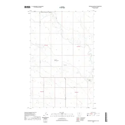
2020 Map of Creedman Coulee East
USGS Topo · Published 2020About this map
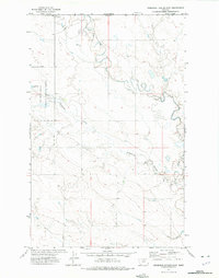
The winding path of Lodge Creek defines the eastern edge of this Hill County landscape, where the northern border meets the international boundary of the United States Of America. This high plains region is etched with complex drainage systems, most notably the deep impressions of Creedman Coulee and South Fork Greenman Coulee. The terrain is sparsely developed, centered on an agricultural and ranching grid defined by several key transit corridors. Principal travel through this open country relies on Saint Joe Rd, which runs vertically through the center of the survey, and W Fork Rd in the southern sections. Smaller features like Kahn Coulee provide local landmarks in a territory otherwise dominated by vast contour intervals and the seasonal movement of water through the coulees.
Find a feature on this map
13 named features on this map. Tap any name to fly to it.
Don’t see what you’re looking for? This feature index may not catch every label — zoom into the map to look around manually.
Map Details
Editions of this 2020 Creedman Coulee East Map
This is the sole edition of this map. No revisions or reprints were ever made.
Other maps of this area

1912 · Thibedeau Lake
USGS Topo · 1:125,000

1953 · Havre
USGS Topo · 1:250,000

1957 · Havre
USGS Topo · 1:250,000

1958 · Havre
USGS Topo · 1:250,000

1972 · Hilldale Colony
USGS Topo · 1:24,000
1972 · Lake Thibadeau SW
USGS Topo · 1:24,000
1972 · Lake Thibadeau
USGS Topo · 1:24,000
1972 · Lake Thibadeau NE
USGS Topo · 1:24,000
1972 · Creedman Coulee East
USGS Topo · 1:24,000
1972 · Creedman Coulee West
USGS Topo · 1:24,000