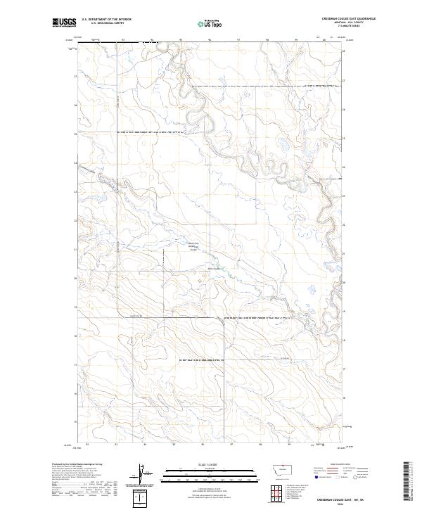
2024 Map of Creedman Coulee East
USGS Topo · Published 2024About this map
Creedman Coulee National Wildlife Refuge anchors the western portion of this High Plains landscape, where the drainage of Creedman Coulee cuts through the prairie of Hill County. The terrain is defined by the winding course of Lodge Creek and a network of seasonal watercourses including South Fork Greenman Coulee and Kahn Coulee. Human geography here is sparse, characterized by the grid of the Public Land Survey System and a handful of section-line roads like Saint Joe Rd and W Fork Rd. This map captures the modern state of this remote grassland habitat, illustrating the relationship between the protected wildlife areas and the surrounding agricultural range land that has defined this part of Montana for generations.
Find a feature on this map
13 named features on this map. Tap any name to fly to it.
Don’t see what you’re looking for? This feature index may not catch every label — zoom into the map to look around manually.
Map Details
Editions of this 2024 Creedman Coulee East Map
This is the sole edition of this map. No revisions or reprints were ever made.
Other maps of this area

1912 · Thibedeau Lake
USGS Topo · 1:125,000

1953 · Havre
USGS Topo · 1:250,000

1957 · Havre
USGS Topo · 1:250,000

1958 · Havre
USGS Topo · 1:250,000

1972 · Hilldale Colony
USGS Topo · 1:24,000
1972 · Lake Thibadeau SW
USGS Topo · 1:24,000
1972 · Lake Thibadeau
USGS Topo · 1:24,000
1972 · Lake Thibadeau NE
USGS Topo · 1:24,000
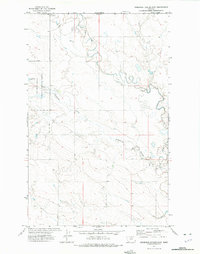
1972 · Creedman Coulee East
USGS Topo · 1:24,000
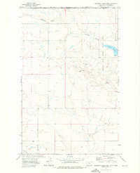
1972 · Creedman Coulee West
USGS Topo · 1:24,000