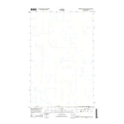
2014 Map of Creedman Coulee East OE N
USGS Topo · Published 2014About this map
The international border between Canada and the United States defines the northern edge of this remote northern landscape in Hill County, Montana. This 2014 survey documents a terrain characterized by subtle drainages and the expansive, unpopulated prairie common to the High Plains. The map provides precise topographic detail for a region where the land is primarily defined by natural watercourses rather than human settlements. For the researcher or land historian, it offers a contemporary view of the jurisdictional boundary lines where the American West meets the Canadian provinces, preserved in the high-fidelity detail of the modern US Topo series.
Find a feature on this map
3 named features on this map. Tap any name to fly to it.
Don’t see what you’re looking for? This feature index may not catch every label — zoom into the map to look around manually.
Map Details
Editions of this 2014 Creedman Coulee East OE N Map
This is the sole edition of this map. No revisions or reprints were ever made.
Other maps of this area

1912 · Thibedeau Lake
USGS Topo · 1:125,000

1953 · Havre
USGS Topo · 1:250,000

1957 · Havre
USGS Topo · 1:250,000

1958 · Havre
USGS Topo · 1:250,000
1972 · Lake Thibadeau NE
USGS Topo · 1:24,000
1972 · Creedman Coulee East
USGS Topo · 1:24,000
1972 · Creedman Coulee West
USGS Topo · 1:24,000

1984 · Havre
USGS Topo · 1:100,000
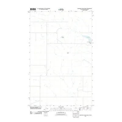
2011 · Creedman Coulee West
USGS Topo · 1:24,000
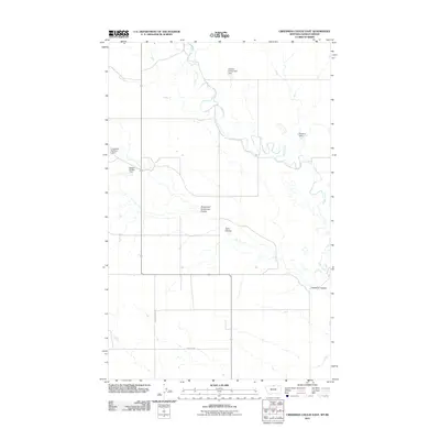
2011 · Creedman Coulee East
USGS Topo · 1:24,000