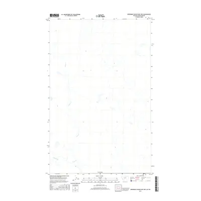
2017 Map of Creedman Coulee East OE N
USGS Topo · Published 2017About this map
Canada marks the northern extent of this remote landscape where the northern plains of Montana meet the international boundary. The drainage patterns of Lodge Creek and the winding course of McRae Cr dominate the local topography, carving shallow paths through the prairie. This 2017 survey reflects the sparse, open character of Hill County, where the hydrology of these intermittent waterways remains the primary geographical influence. The map illustrates a section of the borderlands that has remained largely undeveloped, characterized by wide-open spaces and the natural meandering of creek beds across a terrain primarily defined by its elevation contours and drainage basins.
Find a feature on this map
3 named features on this map. Tap any name to fly to it.
Don’t see what you’re looking for? This feature index may not catch every label — zoom into the map to look around manually.
Map Details
Editions of this 2017 Creedman Coulee East OE N Map
This is the sole edition of this map. No revisions or reprints were ever made.
Other maps of this area

1912 · Thibedeau Lake
USGS Topo · 1:125,000

1953 · Havre
USGS Topo · 1:250,000

1957 · Havre
USGS Topo · 1:250,000

1958 · Havre
USGS Topo · 1:250,000
1972 · Lake Thibadeau NE
USGS Topo · 1:24,000
1972 · Creedman Coulee East
USGS Topo · 1:24,000
1972 · Creedman Coulee West
USGS Topo · 1:24,000

1984 · Havre
USGS Topo · 1:100,000
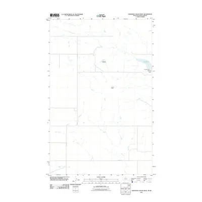
2011 · Creedman Coulee West
USGS Topo · 1:24,000
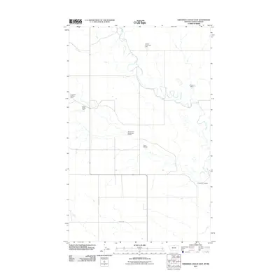
2011 · Creedman Coulee East
USGS Topo · 1:24,000