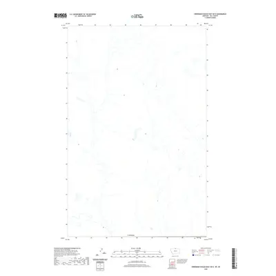
2020 Map of Creedman Coulee East OE N
USGS Topo · Published 2020About this map
The international border with Canada defines the southern extent of this northern Hill County landscape, where the prairie is etched by a complex network of seasonal drainage and intermittent water bodies. This area, surveyed for the National Geospatial Program, highlights the austere geography of the high plains just south of the 49th parallel. The map documents a sparsely populated region where the terrain is dominated by natural hydrology and subtle contour changes rather than dense human settlement. It serves as a detailed record of the undeveloped borderlands, illustrating the way the land was managed and mapped in the early twenty-first century.
Find a feature on this map
1 named feature on this map. Tap any name to fly to it.
Don’t see what you’re looking for? This feature index may not catch every label — zoom into the map to look around manually.
Map Details
Editions of this 2020 Creedman Coulee East OE N Map
This is the sole edition of this map. No revisions or reprints were ever made.
Other maps of this area

1912 · Thibedeau Lake
USGS Topo · 1:125,000

1953 · Havre
USGS Topo · 1:250,000

1957 · Havre
USGS Topo · 1:250,000

1958 · Havre
USGS Topo · 1:250,000
1972 · Lake Thibadeau NE
USGS Topo · 1:24,000
1972 · Creedman Coulee East
USGS Topo · 1:24,000
1972 · Creedman Coulee West
USGS Topo · 1:24,000

1984 · Havre
USGS Topo · 1:100,000
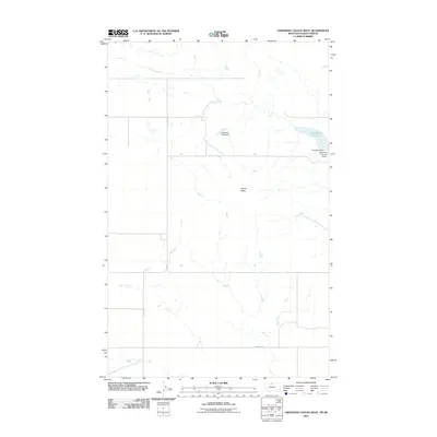
2011 · Creedman Coulee West
USGS Topo · 1:24,000
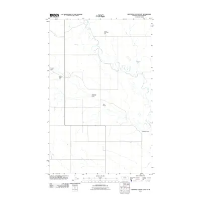
2011 · Creedman Coulee East
USGS Topo · 1:24,000