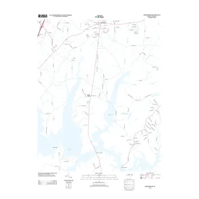
2013 Map of Creedmoor
USGS Topo · Published 2013About this map
Creedmoor serves as the primary municipal hub in this region of Granville County, characterized by a grid of streets including W Hillsboro St and E Church St. South of the town center, the landscape opens into a series of significant water bodies and rural crossings. The importance of local hydrology is evident in the naming of critical crossings such as Boyces Bridge, Lawrences Bridge, and Newlight Bridge, which connect the scattered homesteads of Sandy Plain to the surrounding road network.
Find a feature on this map
125 named features on this map. Tap any name to fly to it.
Don’t see what you’re looking for? This feature index may not catch every label — zoom into the map to look around manually.
Map Details
Editions of this 2013 Creedmoor Map
This is the sole edition of this map. No revisions or reprints were ever made.
Other maps of this area

1943 · Durham South
USGS Topo · 1:62,500

1943 · Raleigh
USGS Topo · 1:62,500

1943 · Creedmoor
USGS Topo · 1:62,500

1944 · Creedmoor
USGS Topo · 1:62,500

1951 · Raleigh
USGS Topo · 1:62,500

1951 · Durham South
USGS Topo · 1:62,500

1951 · Durham North
USGS Topo · 1:62,500

1953 · Raleigh
USGS Topo · 1:250,000

1953 · Greensboro
USGS Topo · 1:250,000

1954 · Greensboro
USGS Topo · 1:250,000