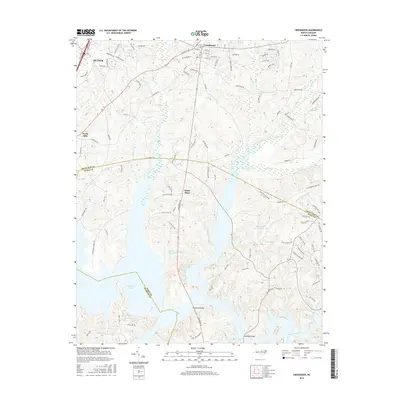
2016 Map of Creedmoor
USGS Topo · Published 2016About this map
Creedmoor and Butner anchor this survey of the North Carolina Piedmont, where the suburban expansion of the Research Triangle meets a landscape defined by significant water bodies. The terrain is marked by the convergence of Granville, Wake, and Durham counties, a boundary intersection that runs through the waters of Spring Valley Lake and near Brinkley Lake. The map details a complex hydrographic network including Beaverdam Creek, Ledge Creek, and Robertson Creek, which are interspersed with residential developments and named crossroads like Sandy Plain and North Side. Insights into mid-2010s land use are visible through the dense local road network, such as Creedmoor Road and Old Weaver Trail, which connect established settlements with newer recreational reservoirs like Lake Hughes and Willowhaven Lake Number One.
Find a feature on this map
99 named features on this map. Tap any name to fly to it.
Don’t see what you’re looking for? This feature index may not catch every label — zoom into the map to look around manually.
Map Details
Editions of this 2016 Creedmoor Map
This is the sole edition of this map. No revisions or reprints were ever made.
Other maps of this area

1943 · Durham South
USGS Topo · 1:62,500

1943 · Raleigh
USGS Topo · 1:62,500

1943 · Creedmoor
USGS Topo · 1:62,500

1944 · Creedmoor
USGS Topo · 1:62,500

1951 · Raleigh
USGS Topo · 1:62,500

1951 · Durham South
USGS Topo · 1:62,500

1951 · Durham North
USGS Topo · 1:62,500

1953 · Raleigh
USGS Topo · 1:250,000

1953 · Greensboro
USGS Topo · 1:250,000

1954 · Greensboro
USGS Topo · 1:250,000