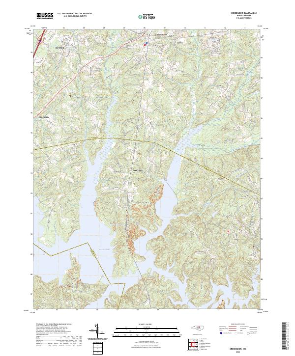
2022 Map of Creedmoor
USGS Topo · Published 2022About this map
Creedmoor and Butner anchor this modern landscape where the Piedmont hills descend into the intricate finger-like branches of Falls Lake. The map illustrates the complex intersection of Granville, Wake, and Durham counties, a region defined by the expansive reservoirs that have altered the natural course of Ledge Creek and Beaverdam Cr. While modern transportation corridors like the I-85 Service Road and North Durham Avenue facilitate contemporary movement, the map preserves the names of established rural communities such as Sandy Plain and North Side. Recreational and residential development is evident through features like Spring Valley Lake and Willowhaven Lake Number One, nestled among the wooded tributaries of New Light Creek and Little Ledge Cr. The interplay of newer trails, including the Shoreline Trail and Falls Lake Trail, highlights the area's role as a buffer between growing urban centers and preserved aquatic environments.
Find a feature on this map
118 named features on this map. Tap any name to fly to it.
Don’t see what you’re looking for? This feature index may not catch every label — zoom into the map to look around manually.
Map Details
Editions of this 2022 Creedmoor Map
This is the sole edition of this map. No revisions or reprints were ever made.
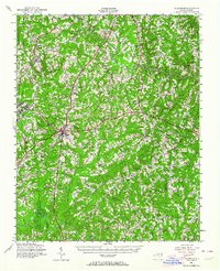
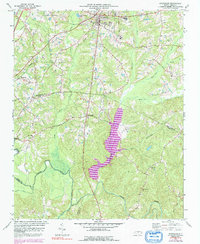
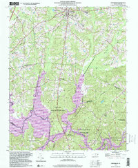
Historical Maps of Butner Through Time
5 maps found