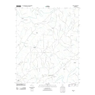
2011 Map of Creel
USGS Topo · Published 2011About this map
Mulberry Fork and Locust Fork wind through this part of the Alabama landscape, defining a region where water and high ground dictated the location of early settlements. Historically significant crossings like Sullivan Ford appear alongside established communities such as Sloan, Red Hill, and Corner. The terrain is marked by prominent elevations including York Mountain and McCarne Mountain, which rise above the creek valleys.
Find a feature on this map
127 named features on this map. Tap any name to fly to it.
Don’t see what you’re looking for? This feature index may not catch every label — zoom into the map to look around manually.
Map Details
Editions of this 2011 Creel Map
This is the sole edition of this map. No revisions or reprints were ever made.
Other maps of this area

1889 · Birmingham
USGS Topo · 1:125,000

1892 · Birmingham
USGS Topo · 1:125,000

1893 · Jasper
USGS Topo · 1:125,000

1895 · Birmingham
USGS Topo · 1:125,000

1904 · Birmingham Coal District
USGS Topo · 1:62,500

1906 · Birmingham Special
USGS Topo · 1:62,500

1907 · Birmingham
USGS Topo · 1:125,000

1935 · Port Birmingham
USGS Topo · 1:48,000

1938 · Port Birmingham
USGS Topo · 1:62,500

1949 · Sipsey
USGS Topo · 1:24,000