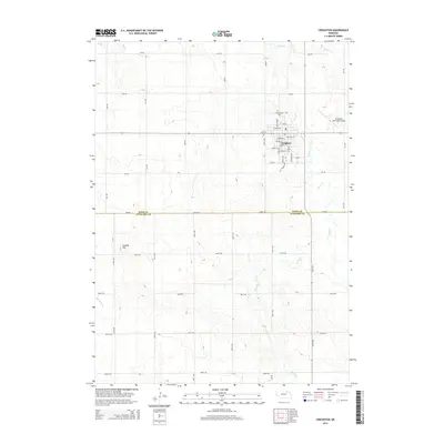
2014 Map of Creighton
USGS Topo · Published 2014About this map
Creighton serves as the primary hub of this landscape, situated near the northeastern border of the map where the grid of city streets like Main St and Central St meets the open agricultural plains. The town is flanked by essential local infrastructure, including the Creighton Municipal Airport to the east and the Greenwood Cem to the north. This 2014 survey reveals a transition in the physical geography across the Knox Co Antelope Co line, where the terrain shifts from the relatively level northern plains toward more undulating hills in the south. Bazile Cr and its tributaries, including Spring Cr, carve meandering paths through the countryside, while Council Hill provides a distinct topographic landmark to the southwest. The systematic network of rural roads, such as 526 Ave and 874 Rd, reflects the enduring section-line organization of this farming region.
Find a feature on this map
46 named features on this map. Tap any name to fly to it.
Don’t see what you’re looking for? This feature index may not catch every label — zoom into the map to look around manually.
Map Details
Editions of this 2014 Creighton Map
This is the sole edition of this map. No revisions or reprints were ever made.
Other maps of this area

1954 · Verdigre
USGS Topo · 1:24,000

1955 · Sioux City
USGS Topo · 1:250,000

1955 · O'Neill
USGS Topo · 1:250,000

1958 · Sioux City
USGS Topo · 1:250,000

1959 · O'Neill
USGS Topo · 1:250,000

1959 · Sioux City
USGS Topo · 1:250,000

1963 · Orchard NE
USGS Topo · 1:24,000

1963 · Plainview
USGS Topo · 1:24,000

1963 · Brunswick
USGS Topo · 1:24,000

1963 · Royal
USGS Topo · 1:24,000