
1963 Map of Royal
USGS Topo · Published 1964About this map
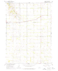
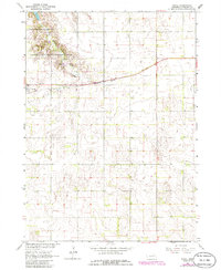
Royal serves as the primary hub in this early 1960s agricultural survey of Antelope County, situated along the Chicago and North Western railroad line. The landscape is defined by the drainage of Verdigris Creek, which feeds into Grove Lake at the northwestern corner of the quadrangle. A specialized local economy is evident through the presence of a Fish Hatchery near the creek and several Gravel Pits scattered near the rail corridor.
Find a feature on this map
17 named features on this map. Tap any name to fly to it.
Don’t see what you’re looking for? This feature index may not catch every label — zoom into the map to look around manually.
Map Details
Editions of this 1963 Royal Map
3 editions found
Other maps of this area

1955 · Sioux City
USGS Topo · 1:250,000

1955 · O'Neill
USGS Topo · 1:250,000

1958 · Sioux City
USGS Topo · 1:250,000

1959 · O'Neill
USGS Topo · 1:250,000

1959 · Sioux City
USGS Topo · 1:250,000

1963 · Orchard NE
USGS Topo · 1:24,000

1963 · Neligh
USGS Topo · 1:24,000

1963 · Brunswick
USGS Topo · 1:24,000

1963 · Orchard
USGS Topo · 1:24,000
1963 · Tilden NW
USGS Topo · 1:24,000