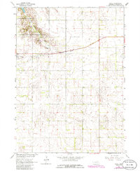
1963 Map of Royal
USGS Topo · Published 1986About this map
Royal serves as the central hub for this portion of Antelope County, situated along the Burlington Northern railroad corridor. The landscape is defined by the transition from organized section-line roads to the varied terrain of the Grove Lake State Wildlife Area, where Grove Lake provides a significant water feature in an otherwise agricultural region. Genealogists will find the Royal Cem positioned just outside the main settlement area, a common placement for local burials during this era. The map, reflecting a 1963 survey with 1986 revisions, illustrates the persistence of small-town Nebraska infrastructure and the importance of rail transport for rural economies in the mid-20th century.
Find a feature on this map
5 named features on this map. Tap any name to fly to it.
Don’t see what you’re looking for? This feature index may not catch every label — zoom into the map to look around manually.
Map Details
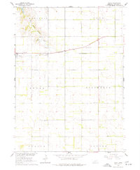
Editions of this 1963 Royal Map
3 editions found
Other maps of this area

1955 · Sioux City
USGS Topo · 1:250,000

1955 · O'Neill
USGS Topo · 1:250,000

1958 · Sioux City
USGS Topo · 1:250,000

1959 · O'Neill
USGS Topo · 1:250,000

1959 · Sioux City
USGS Topo · 1:250,000

1963 · Orchard NE
USGS Topo · 1:24,000

1963 · Neligh
USGS Topo · 1:24,000

1963 · Brunswick
USGS Topo · 1:24,000

1963 · Royal
USGS Topo · 1:24,000

1963 · Orchard
USGS Topo · 1:24,000