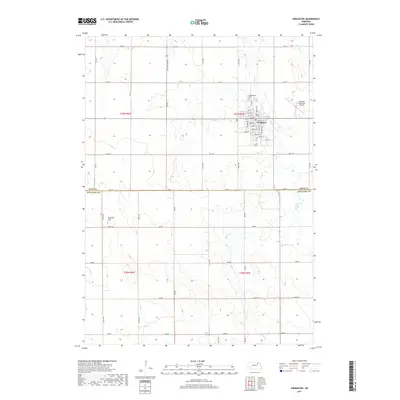
2017 Map of Creighton
USGS Topo · Published 2017About this map
Creighton serves as the primary hub of this northern Nebraska landscape, situated near the boundary where Knox Co meets Antelope Co. The town is organized around a traditional grid featuring Main St, State St, and Central St, with the Greenwood Cem located on the northern edge of the settlement. The surrounding terrain is defined by the winding course of Bazile Cr and its tributaries, including Spring Cr and Merriman Cr, which cut through the agricultural sections of the quadrangle.
Find a feature on this map
37 named features on this map. Tap any name to fly to it.
Don’t see what you’re looking for? This feature index may not catch every label — zoom into the map to look around manually.
Map Details
Editions of this 2017 Creighton Map
This is the sole edition of this map. No revisions or reprints were ever made.
Other maps of this area

1954 · Verdigre
USGS Topo · 1:24,000

1955 · Sioux City
USGS Topo · 1:250,000

1955 · O'Neill
USGS Topo · 1:250,000

1958 · Sioux City
USGS Topo · 1:250,000

1959 · O'Neill
USGS Topo · 1:250,000

1959 · Sioux City
USGS Topo · 1:250,000

1963 · Orchard NE
USGS Topo · 1:24,000

1963 · Plainview
USGS Topo · 1:24,000

1963 · Brunswick
USGS Topo · 1:24,000

1963 · Royal
USGS Topo · 1:24,000