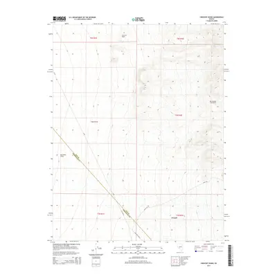
2014 Map of Crescent Dunes
USGS Topo · Published 2014About this map
Crescent Dunes dominate the northern landscape of this region where the high desert terrain meets the southern edge of the Big Smoky Valley. This 2014 survey captures a section of the Nevada desert just north of the mining center of Tonopah, revealing a landscape defined by sharp topographic shifts between the valley floor and the rising slopes of the San Antonio Mountains. The area is bisected by several key corridors including NV-89 and the long-established path of Pole Line Rd, which cuts diagonally across the township lines. The boundary between Nye and Esmeralda counties is clearly delineated as it traverses the desert floor, providing a precise reference for those mapping local history or land ownership in this part of the Great Basin.
Find a feature on this map
15 named features on this map. Tap any name to fly to it.
Don’t see what you’re looking for? This feature index may not catch every label — zoom into the map to look around manually.
Map Details
Editions of this 2014 Crescent Dunes Map
This is the sole edition of this map. No revisions or reprints were ever made.
Other maps of this area

1907 · Tonopah
USGS Topo · 1:250,000

1908 · Tonopah
USGS Topo · 1:250,000

1956 · Tonopah
USGS Topo · 1:250,000

1959 · Tonopah
USGS Topo · 1:250,000
1960 · Tonopah
USGS Topo · 1:24,000

1961 · Tonopah
USGS Topo · 1:62,500

1961 · Lone Mtn
USGS Topo · 1:62,500

1962 · Tonopah
USGS Topo · 1:250,000

1963 · Baxter Spring
USGS Topo · 1:62,500

1964 · San Antonio Ranch
USGS Topo · 1:62,500