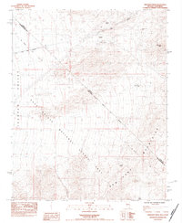
1984 Map of Crescent Peak
USGS Topo · Published 1984About this map
The Crescent (Site) marks a key point of human interest in this high-desert region, situated near the northeastern edge of the East Mojave National Scenic Area. This 1984 survey reveals a landscape defined by the intersection of the Ivanpah Valley and the northern reaches of the New York Mountains, spanning the state line between Nevada and California. The map documents the enduring infrastructure of 20th-century desert prospecting and ranching, evidenced by scattered water sources like Crippled Jack Well, Bullion Spring, and Juniper Spring. The presence of the Nippeno Mine near Crescent Peak highlights the area's mining history, while the sprawling Big Tiger Wash illustrates the dramatic drainage patterns of the Mojave. This edition is particularly valuable for tracing the precise administrative boundaries where Clark County meets San Bernardino County during the mid-1980s conservation era.
Find a feature on this map
14 named features on this map. Tap any name to fly to it.
Don’t see what you’re looking for? This feature index may not catch every label — zoom into the map to look around manually.
Map Details
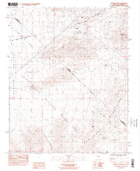
Editions of this 1984 Crescent Peak Map
2 editions found
Other maps of this area

1910 · Ivanpah
USGS Topo · 1:250,000

1912 · Ivanpah
USGS Topo · 1:250,000

1942 · Ivanpah
USGS Topo · 1:250,000

1947 · Kingman
USGS Topo · 1:250,000

1948 · Kingman
USGS Topo · 1:250,000

1954 · Kingman
USGS Topo · 1:250,000

1955 · Kingman
USGS Topo · 1:250,000

1955 · Roach Lake
USGS Topo · 1:62,500

1956 · Ivanpah
USGS Topo · 1:62,500
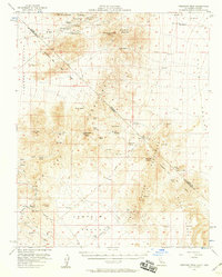
1956 · Crescent Peak
USGS Topo · 1:62,500