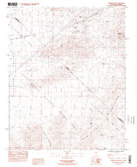
1984 Map of Crescent Peak
USGS Topo · Published 1984About this map
Mining and water security define this high-desert boundary between Nevada and California during the early 1980s. The landscape is anchored by Crescent Peak and the New York Mountains, where the hardscrabble history of extraction is marked by the Crescent (Site) and the Nippeno Mine. These sites speak to a period of exploration in the McCullough range before the transition toward protected landscapes, as evidenced by the large overlay of the East Mojave National Scenic Area.
Find a feature on this map
14 named features on this map. Tap any name to fly to it.
Don’t see what you’re looking for? This feature index may not catch every label — zoom into the map to look around manually.
Map Details
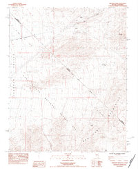
Editions of this 1984 Crescent Peak Map
2 editions found
Other maps of this area

1910 · Ivanpah
USGS Topo · 1:250,000

1912 · Ivanpah
USGS Topo · 1:250,000

1942 · Ivanpah
USGS Topo · 1:250,000

1947 · Kingman
USGS Topo · 1:250,000

1948 · Kingman
USGS Topo · 1:250,000

1954 · Kingman
USGS Topo · 1:250,000

1955 · Kingman
USGS Topo · 1:250,000

1955 · Roach Lake
USGS Topo · 1:62,500

1956 · Ivanpah
USGS Topo · 1:62,500
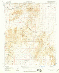
1956 · Crescent Peak
USGS Topo · 1:62,500