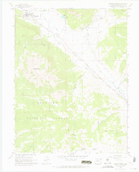
1961 Map of Crested Butte
USGS Topo · Published 1969About this map
Crested Butte sits at the foot of Gibson Ridge and Whetstone Mtn in this 1961 field-checked survey of the Elk Mountains. The landscape is defined by the confluence of the Slate River and East River, where a network of water-management features like Verzuh Ditch and Bafand Ditch supported local ranching operations at Cold Spring Ranch. Evidence of the area's transition from an industrial mining hub to a recreational and forest-management region is visible in the abandoned Old Railroad Grade that snakes along the river valleys and the presence of the Bulkley Mine (Site) east of the main townsite.
Find a feature on this map
34 named features on this map. Tap any name to fly to it.
Don’t see what you’re looking for? This feature index may not catch every label — zoom into the map to look around manually.
Map Details
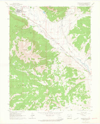
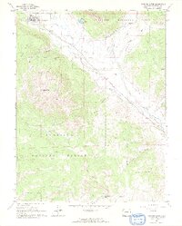
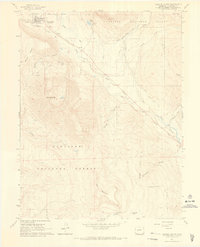
Editions of this 1961 Crested Butte Map
4 editions found
Other maps of this area

1888 · Crested Butte
USGS Topo · 1:62,500

1888 · Anthracite
USGS Topo · 1:62,500

1889 · Crested Butte
USGS Topo · 1:62,500

1889 · Anthracite
USGS Topo · 1:62,500

1893 · Anthracite
USGS Topo · 1:62,500

1893 · Crested Butte
USGS Topo · 1:62,500

1894 · Anthracite
USGS Topo · 1:62,500

1956 · Montrose
USGS Topo · 1:250,000

1959 · Montrose
USGS Topo · 1:250,000

1960 · Montrose
USGS Topo · 1:250,000