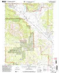
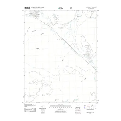
2001 Map of Crested Butte
USGS Topo · Published 2004About this map
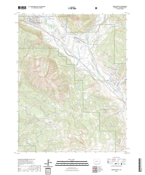
Crested Butte sits at the northern edge of this high-elevation landscape, where the Slate River and Coal Creek meet. The map reveals a transition from the town's mining legacy, evidenced by the Bulkley Mine (Site) and various Gravel Pits, toward a recreation-focused economy represented by a Golf Course and Skyland Camp. High peaks and ridges, including Whetstone Mountain and Gibson Ridge, dominate the Gunnison National Forest lands that surround the valley floor.
Find a feature on this map
30 named features on this map. Tap any name to fly to it.
Don’t see what you’re looking for? This feature index may not catch every label — zoom into the map to look around manually.
Map Details
Editions of this 2001 Crested Butte Map
This is the sole edition of this map. No revisions or reprints were ever made.
Historical Maps of Crested Butte Through Time
10 maps found
1888 Crested Butte
Gunnison County, CO

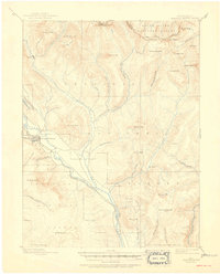
1889 Crested Butte
Gunnison County, CO
1893 Crested Butte
Gunnison County, CO
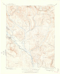
1961 Crested Butte
Gunnison County, CO
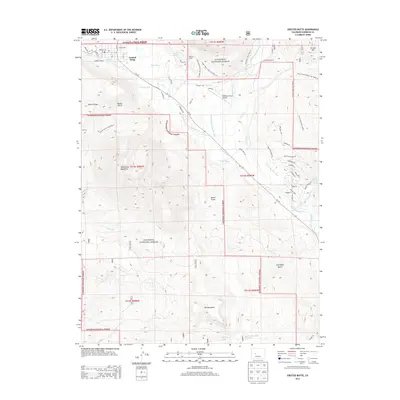
2001 Crested Butte
Gunnison County, CO
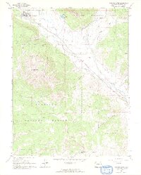
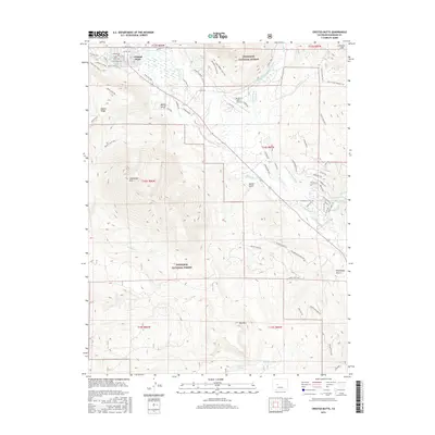
2011 Crested Butte
Gunnison County, CO
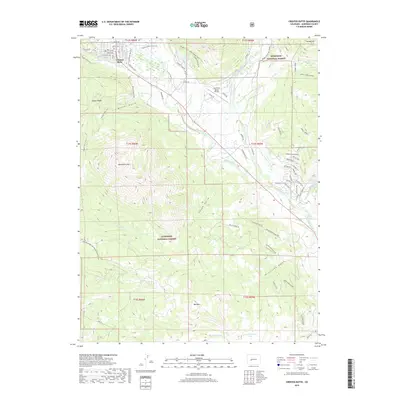
2013 Crested Butte
Gunnison County, CO
2016 Crested Butte
Gunnison County, CO
2019 Crested Butte
Gunnison County, CO
2023 Crested Butte
Gunnison County, CO