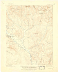
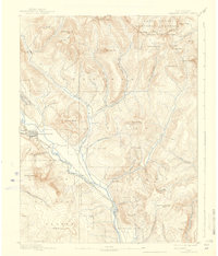
1893 Map of Crested Butte
USGS Topo · Published 1950About this map
Crested Butte stands as the primary hub of this high-altitude landscape, surveyed in the late 19th century when mining and rail access shaped the Gunnison country. The Denver and Rio Grande Railroad follows the winding path of the Slate River, providing a critical link to the outside world for the remote settlement of Gothic. The terrain is dominated by the peaks of the Sawtooth Range and notable summits like Teocalli Mt and Mt Whetstone, creating a geography defined by steep drainages and isolated basins.
Find a feature on this map
53 named features on this map. Tap any name to fly to it.
Don’t see what you’re looking for? This feature index may not catch every label — zoom into the map to look around manually.
Map Details
Editions of this 1893 Crested Butte Map
6 editions found
Other maps of this area

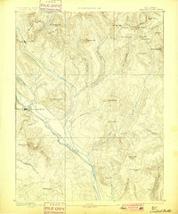
1888 · Crested Butte
USGS Topo · 1:62,500

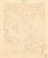
1888 · Anthracite
USGS Topo · 1:62,500

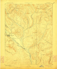
1889 · Crested Butte
USGS Topo · 1:62,500

1889 · Anthracite
USGS Topo · 1:62,500

1893 · Anthracite
USGS Topo · 1:62,500

1893 · Crested Butte
USGS Topo · 1:62,500

1893 · Aspen
USGS Topo · 1:62,500

1894 · Anthracite
USGS Topo · 1:62,500

1895 · Aspen
USGS Topo · 1:62,500

1909 · Mount Jackson
USGS Topo · 1:125,000