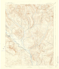
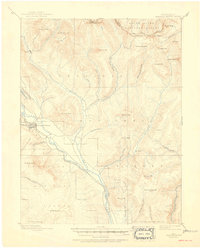
1893 Map of Crested Butte
USGS Topo · Published 1938About this map
Crested Butte and the nearby settlement of Gothic serve as the primary anchors in this high-altitude survey of the Elk Mountains, conducted during the mining booms of the late 19th century. The Denver and Rio Grande Railroad follows the base of Gibson Ridge and Mt Whetstone, marking the critical industrial link that transformed this remote terrain into a hub for silver and coal extraction. The landscape is defined by the high peaks of the Sawtooth Range, including Taylor Peak and Star Peak, which overlook a network of glaciated basins like Virginia Basin and Queen Basin. Beyond the towns, the map reveals the early mountain passes such as Pearl Pass and Taylor Pass, which were essential for travel between the Gunnison and Roaring Fork watersheds before modern roads. Drainage patterns from East Brush Creek and Cement Creek illustrate the water sources that sustained the camps and nascent grazing operations within the Gunnison National Forest.
Find a feature on this map
50 named features on this map. Tap any name to fly to it.
Don’t see what you’re looking for? This feature index may not catch every label — zoom into the map to look around manually.
Map Details
Editions of this 1893 Crested Butte Map
6 editions found
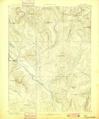
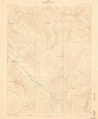
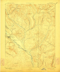
Other maps of this area

1888 · Crested Butte
USGS Topo · 1:62,500

1888 · Anthracite
USGS Topo · 1:62,500

1889 · Crested Butte
USGS Topo · 1:62,500

1889 · Anthracite
USGS Topo · 1:62,500

1893 · Anthracite
USGS Topo · 1:62,500

1893 · Crested Butte
USGS Topo · 1:62,500

1893 · Aspen
USGS Topo · 1:62,500

1894 · Anthracite
USGS Topo · 1:62,500

1895 · Aspen
USGS Topo · 1:62,500

1909 · Mount Jackson
USGS Topo · 1:125,000