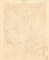
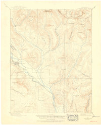
1893 Map of Crested Butte
USGS Topo · Published 1906About this map
Crested Butte serves as the focal point for this late 19th-century reconnaissance, situated at the confluence of several mountain drainages and the terminal line of the Denver and Rio Grande Railroad. To the north, the high-altitude mining camp of Gothic marks the northern extent of easy passage, nestled beneath Avery Peak. The landscape is defined by its extreme verticality, from the Saw-Tooth Range in the northeast to the massive peaks of White Rock Mt and Teocalli Mt. The drainage patterns are clearly delineated, showing how Cement Creek and the Slate River carve through the high country. Of particular note for researchers are the primitive wagon routes crossing Pearl Pass and Taylor Pass, providing a record of early mountain travel between the Gunnison and Roaring Fork watersheds during the height of the Colorado Silver Boom.
Find a feature on this map
52 named features on this map. Tap any name to fly to it.
Don’t see what you’re looking for? This feature index may not catch every label — zoom into the map to look around manually.
Map Details
Editions of this 1893 Crested Butte Map
6 editions found
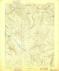
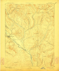
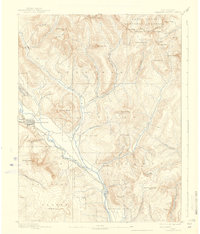
Other maps of this area

1888 · Crested Butte
USGS Topo · 1:62,500

1888 · Anthracite
USGS Topo · 1:62,500

1889 · Crested Butte
USGS Topo · 1:62,500

1889 · Anthracite
USGS Topo · 1:62,500

1893 · Anthracite
USGS Topo · 1:62,500

1893 · Crested Butte
USGS Topo · 1:62,500

1893 · Aspen
USGS Topo · 1:62,500

1894 · Anthracite
USGS Topo · 1:62,500

1895 · Aspen
USGS Topo · 1:62,500

1909 · Mount Jackson
USGS Topo · 1:125,000