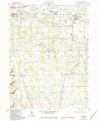
1961 Map of Creston
USGS Topo · Published 1984About this map
Killbuck Creek and its tributaries carve a path through the agricultural landscape of northern Wayne County, where several small villages and hamlets define the local geography. The village of Creston occupies the northeastern corner of the map, serving as a historic junction for the Norfolk and Western and B & O railroads. This survey illustrates a dense network of country roads connecting isolated family farmsteads with local landmarks like the County Home for the Aged and Norwayne High Sch.
Find a feature on this map
35 named features on this map. Tap any name to fly to it.
Don’t see what you’re looking for? This feature index may not catch every label — zoom into the map to look around manually.
Map Details
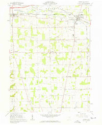
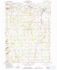
Editions of this 1961 Creston Map
3 editions found
Other maps of this area

1901 · Wooster
USGS Topo · 1:62,500

1903 · Wooster
USGS Topo · 1:62,500

1904 · Medina
USGS Topo · 1:62,500

1904 · Wellington
USGS Topo · 1:62,500

1906 · Medina
USGS Topo · 1:62,500

1906 · Wellington
USGS Topo · 1:62,500

1906 · West Salem
USGS Topo · 1:62,500

1908 · West Salem
USGS Topo · 1:62,500

1950 · Cleveland
USGS Topo · 1:250,000

1950 · Marion
USGS Topo · 1:250,000