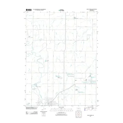
2011 Map of Crete North
USGS Topo · Published 2011About this map
Crete anchors the southern edge of this Saline County landscape, where the Big Blue River meanders through a network of small agricultural impoundments and rural corridors. The map reveals an intensive water management system across the drainage basins of Walnut Creek, Cheese Creek, and the Haines Branch. Numerous named dams and reservoirs, such as Muff Reservoir and the Walnut Creek Reservoir Number 1, indicate a terrain engineered for irrigation or flood control during the early 21st century.
Find a feature on this map
69 named features on this map. Tap any name to fly to it.
Don’t see what you’re looking for? This feature index may not catch every label — zoom into the map to look around manually.
Map Details
Editions of this 2011 Crete North Map
This is the sole edition of this map. No revisions or reprints were ever made.
Other maps of this area

1897 · Lincoln
USGS Topo · 1:125,000

1934 · Seward
USGS Topo · 1:48,000

1935 · Dorchester
USGS Topo · 1:48,000

1939 · Seward
USGS Topo · 1:62,500

1940 · Dorchester
USGS Topo · 1:62,500

1955 · Lincoln
USGS Topo · 1:250,000

1957 · Lincoln
USGS Topo · 1:250,000

1958 · Lincoln
USGS Topo · 1:250,000
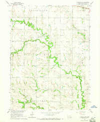
1964 · Pleasant Hill
USGS Topo · 1:24,000
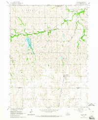
1964 · Hallam
USGS Topo · 1:24,000