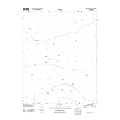
2012 Map of Crevison Peak
USGS Topo · Published 2012About this map
Crevison Peak rises above a landscape defined by deep canyons and hidden springs in this 2012 survey. The terrain is marked by family-named landmarks and historical agricultural sites like Richey Camp and Fifield Ranch, suggesting a legacy of ranching in this part of California. Water remains the primary shaper of the land, with several intermittent drainages such as Garzas Cr, Quinto Cr, and Romero Cr carving out significant features like The Narrows and Big Pine Canyon.
Find a feature on this map
46 named features on this map. Tap any name to fly to it.
Don’t see what you’re looking for? This feature index may not catch every label — zoom into the map to look around manually.
Map Details
Editions of this 2012 Crevison Peak Map
This is the sole edition of this map. No revisions or reprints were ever made.
Other maps of this area

1917 · Newman
USGS Topo · 1:31,680

1919 · Orestimba
USGS Topo · 1:62,500

1919 · Orestimba Creek
USGS Topo · 1:31,680

1920 · Pacheco Pass
USGS Topo · 1:62,500

1921 · Gilroy Hot Springs
USGS Topo · 1:62,500

1922 · San Luis Creek
USGS Topo · 1:31,680

1922 · Howard Ranch
USGS Topo · 1:31,680

1938 · Mt. Boardman
USGS Topo · 1:62,500

1939 · Gilroy Hot Springs
USGS Topo · 1:62,500

1940 · Gilroy Hot Springs
USGS Topo · 1:62,500