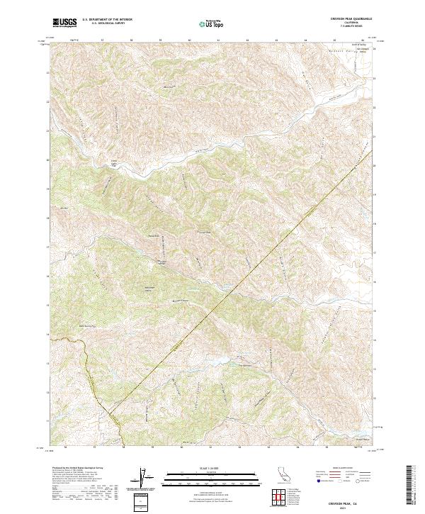
2021 Map of Crevison Peak
USGS Topo · Published 2021About this map
The Diablo Range defines this high-elevation landscape along the borders of Stanislaus, Merced, and Santa Clara counties. Recorded in 2021, the terrain is characterized by a dense network of canyons and gulches, including Sycamore Canyon, Indian Wells Canyon, and Whitney Canyon. These deep drainages feed seasonal water sources like Garzas Cr and Romero Cr. Small settlements and high flats such as Mountain Valley and China Cabin Flat are scattered among the ridges, reached by winding routes like the Blue Hill Grade. Distinctive landmarks such as Hawk Rock and the summit of Crevison Peak dominate the skyline, while isolated water features like Bass Lake, Dry Lake, and Tule Lake provide critical points of interest in an otherwise arid environment. This map captures the intricate topography of the California interior where steep gulches like Mule Gulch and Oat Gulch cut through the rugged uplands.
Find a feature on this map
60 named features on this map. Tap any name to fly to it.
Don’t see what you’re looking for? This feature index may not catch every label — zoom into the map to look around manually.
Map Details
Editions of this 2021 Crevison Peak Map
This is the sole edition of this map. No revisions or reprints were ever made.
Other maps of this area

1917 · Newman
USGS Topo · 1:31,680

1919 · Orestimba
USGS Topo · 1:62,500

1919 · Orestimba Creek
USGS Topo · 1:31,680

1920 · Pacheco Pass
USGS Topo · 1:62,500

1921 · Gilroy Hot Springs
USGS Topo · 1:62,500

1922 · San Luis Creek
USGS Topo · 1:31,680

1922 · Howard Ranch
USGS Topo · 1:31,680

1938 · Mt. Boardman
USGS Topo · 1:62,500

1939 · Gilroy Hot Springs
USGS Topo · 1:62,500

1940 · Gilroy Hot Springs
USGS Topo · 1:62,500