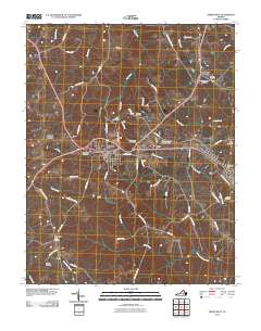
2010 Map of Crewe West
USGS Topo · Published 2010About this map
Burkeville serves as the central junction for this Nottoway County landscape, where the convergence of major rail and road corridors reflects the historical development of south-central Virginia. To the west, Burkes Tavern marks a point of significant local history, while the small settlement of Mutt lies just east of the Piedmont State Hospital Dam. The geography is defined by a dendritic network of streams, including Flat Creek and Deep Creek, which feed into the larger Little Nottoway River to the south.
Find a feature on this map
60 named features on this map. Tap any name to fly to it.
Don’t see what you’re looking for? This feature index may not catch every label — zoom into the map to look around manually.
Map Details
Editions of this 2010 Crewe West Map
This is the sole edition of this map. No revisions or reprints were ever made.
Other maps of this area

1891 · Farmville
USGS Topo · 1:125,000

1893 · Farmville
USGS Topo · 1:125,000

1947 · Roanoke
USGS Topo · 1:250,000

1958 · Farmville
USGS Topo · 1:62,500

1958 · Jetersville
USGS Topo · 1:62,500

1958 · Crewe
USGS Topo · 1:62,500

1958 · Keysville
USGS Topo · 1:62,500

1959 · Roanoke
USGS Topo · 1:250,000

1963 · Roanoke
USGS Topo · 1:250,000
1968 · Deatonville
USGS Topo · 1:24,000