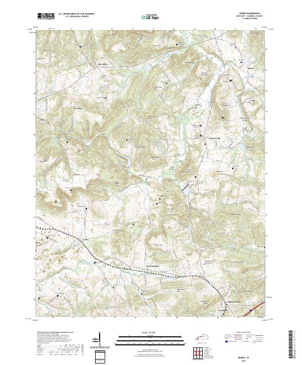
2022 Map of Crider
USGS Topo · Published 2022About this map
The rolling agricultural and woodland terrain of Caldwell County is defined by a dense network of family cemeteries and small rural centers. Farmersville and Crider anchor the local road system, while the corridor of the P & L RR cuts through the southern landscape near Princeton. The area is notably rich in genealogical sites, from the Donaldson Baptist Church Cem to smaller family plots like the Winn Cem and Morse Blackburn Cem.
Find a feature on this map
148 named features on this map. Tap any name to fly to it.
Don’t see what you’re looking for? This feature index may not catch every label — zoom into the map to look around manually.
Map Details
Editions of this 2022 Crider Map
This is the sole edition of this map. No revisions or reprints were ever made.
Historical Maps of Crider Through Time
12 maps found
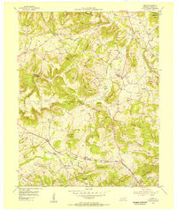
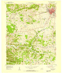
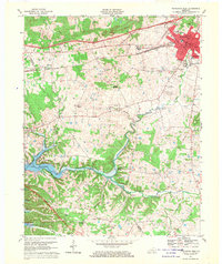
1954 Crider
Caldwell County, KY
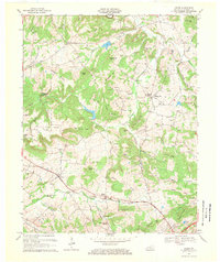
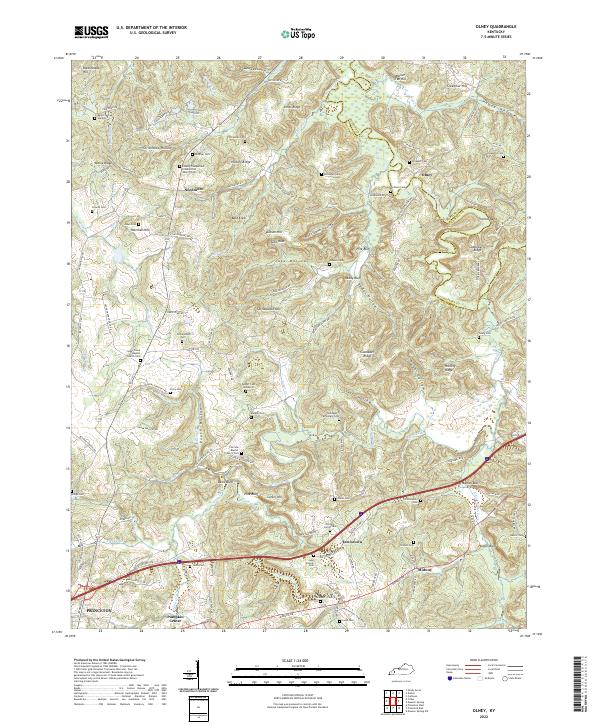
1954 Olney
Caldwell County, KY
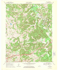
1954 Princeton East
Caldwell County, KY
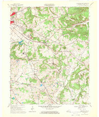
1954 Princeton West
Caldwell County, KY
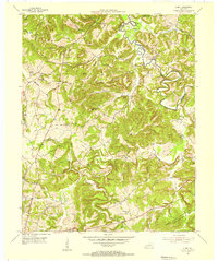
1967 Crider
Caldwell County, KY
1967 Olney
Caldwell County, KY
1967 Princeton East
Caldwell County, KY
1967 Princeton West
Caldwell County, KY
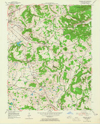
2022 Crider
Caldwell County, KY
2022 Olney
Caldwell County, KY
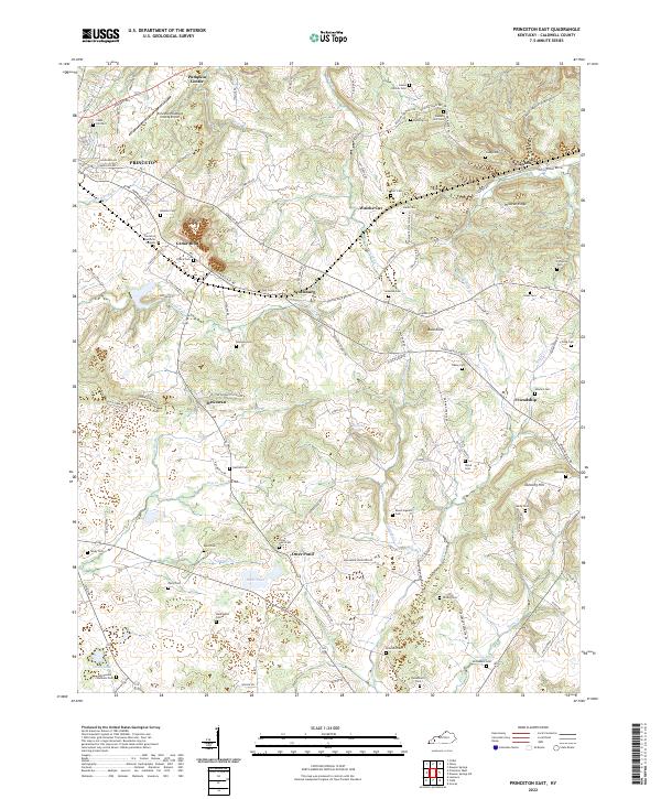
2022 Princeton East
Caldwell County, KY
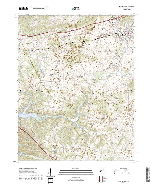
2022 Princeton West
Caldwell County, KY