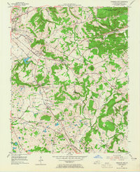
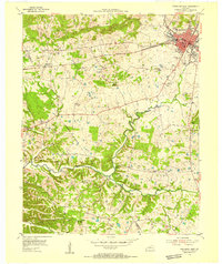
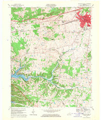
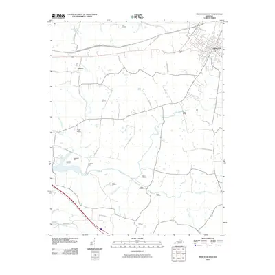
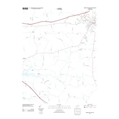
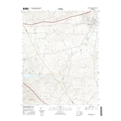
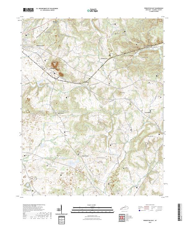
1954 Map of Princeton East
USGS Topo · Published 1965About this map
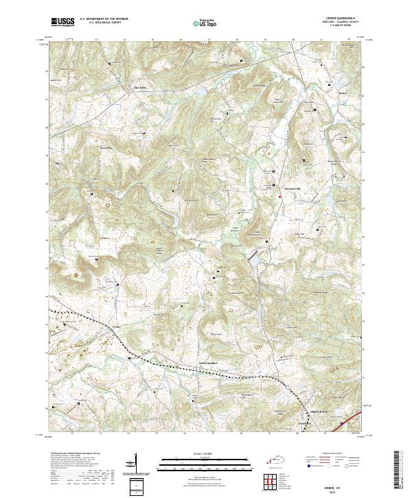
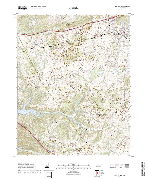
The Illinois Central railroad cuts diagonally through the heart of the Kentucky karst landscape, connecting the regional hub of Princeton to rural outposts like Scottsburg and McGowan. The terrain is defined by its limestone geology, visible in the sprawling Cedar Bluff Quarry and a subterranean drainage network of sinkholes and springs, including the distinctive Otter Pond and Big Spring Branch. Local history is anchored by family burial grounds such as Wadlington Cem and Pollard Cem, which sit alongside established rural institutions like the Western Kentucky Agricultural Experiment Substation. To the northeast, the Pennyrile Wildlife Management Area Jones-Keerney Tract marks a transition into more wooded, elevated country. Small congregations at Lebanon Ch and Harmony Ch provide focal points for these farming communities, while the path of Goose Creek and Craven Creek illustrates the complex hydrology of the Pennyroyal Plain.
Find a feature on this map
53 named features on this map. Tap any name to fly to it.
Don’t see what you’re looking for? This feature index may not catch every label — zoom into the map to look around manually.
Map Details
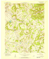
Editions of this 1954 Princeton East Map
2 editions found
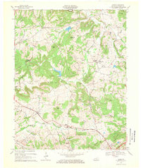
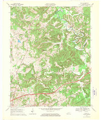
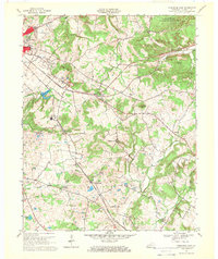
Historical Maps of Princeton Through Time
28 maps found
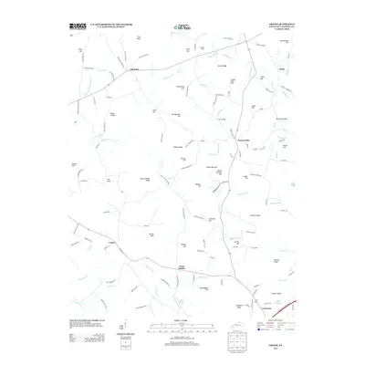
1954 Crider
Caldwell County, KY
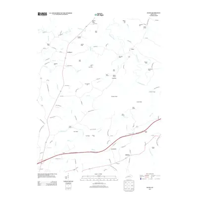
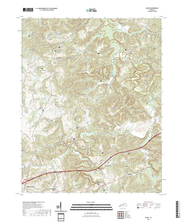
1954 Olney
Caldwell County, KY
1954 Princeton East
Caldwell County, KY
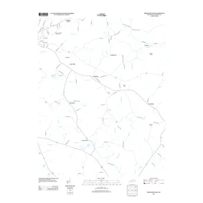
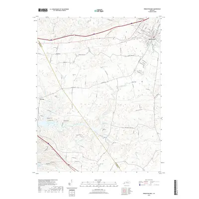
1954 Princeton West
Caldwell County, KY
1967 Crider
Caldwell County, KY
1967 Olney
Caldwell County, KY
1967 Princeton East
Caldwell County, KY
1967 Princeton West
Caldwell County, KY
2010 Crider
Caldwell County, KY
2010 Olney
Caldwell County, KY
2010 Princeton East
Caldwell County, KY
2010 Princeton West
Caldwell County, KY
2013 Crider
Caldwell County, KY
2013 Olney
Caldwell County, KY
2013 Princeton East
Caldwell County, KY
2013 Princeton West
Caldwell County, KY
2016 Crider
Caldwell County, KY
2016 Olney
Caldwell County, KY
2016 Princeton East
Caldwell County, KY
2016 Princeton West
Caldwell County, KY
2019 Crider
Caldwell County, KY
2019 Olney
Caldwell County, KY
2019 Princeton East
Caldwell County, KY
2019 Princeton West
Caldwell County, KY
2022 Crider
Caldwell County, KY
2022 Olney
Caldwell County, KY
2022 Princeton East
Caldwell County, KY
2022 Princeton West
Caldwell County, KY