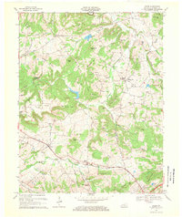
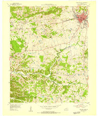
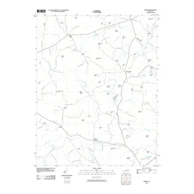
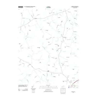
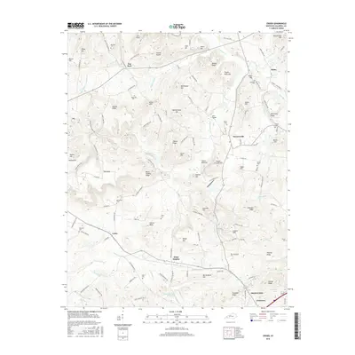
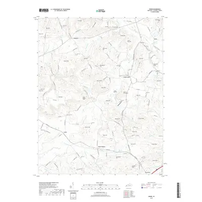
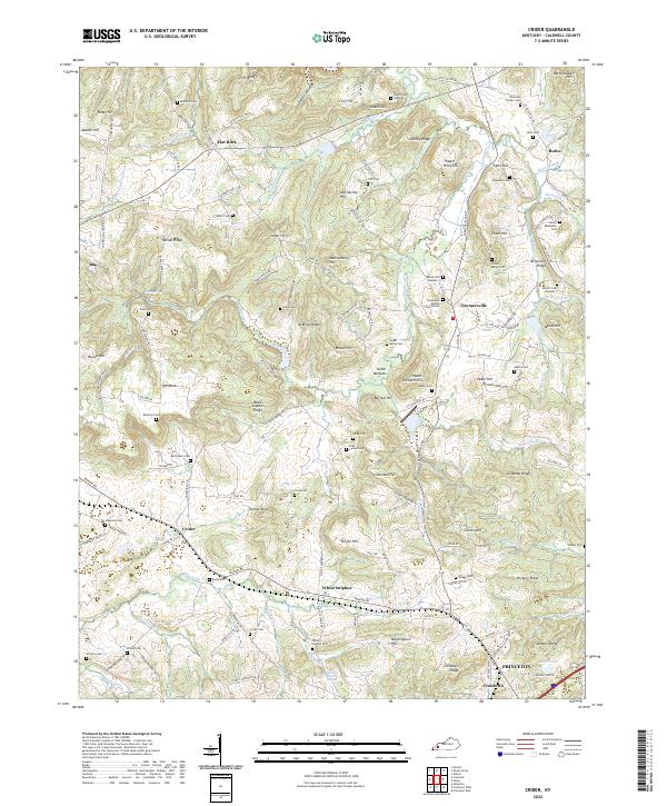
1967 Map of Crider
USGS Topo · Published 1969About this map
The Illinois Central railroad cuts a diagonal path through this 1967 survey of western Kentucky, connecting the settlement of Crider to the broader regional economy. The landscape is defined by a dense network of ridges and hills, such as Nelson Ridge and Black Sulphur Ridge, which separate the various branches of Donaldson Creek and Sinking Fork Livingston Creek. This topography influenced the placement of early homesteads and community centers, visible in the distribution of family-named landmarks like Asher Hill and Morse Hill.
Find a feature on this map
73 named features on this map. Tap any name to fly to it.
Don’t see what you’re looking for? This feature index may not catch every label — zoom into the map to look around manually.
Map Details
Editions of this 1967 Crider Map
This is the sole edition of this map. No revisions or reprints were ever made.
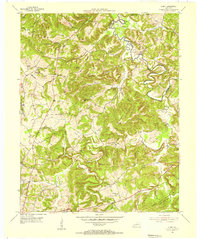
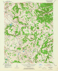
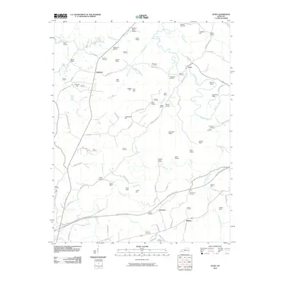
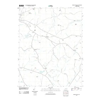
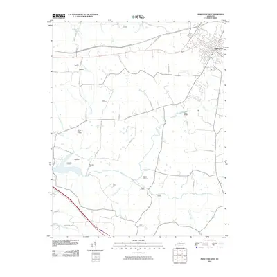
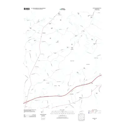
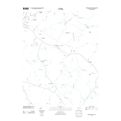
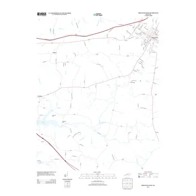
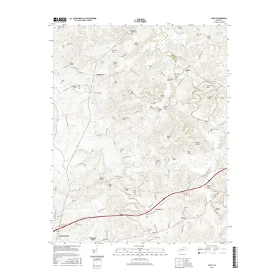
Historical Maps of Princeton Through Time
28 maps found
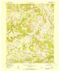
1954 Crider
Caldwell County, KY
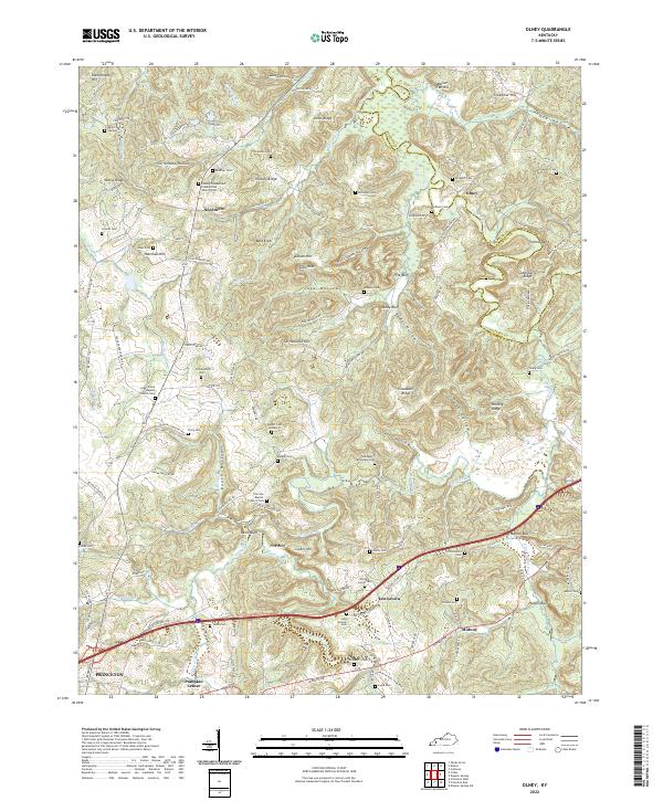
1954 Olney
Caldwell County, KY
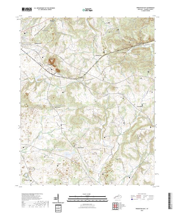
1954 Princeton East
Caldwell County, KY
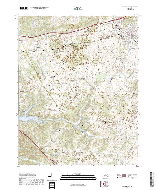
1954 Princeton West
Caldwell County, KY
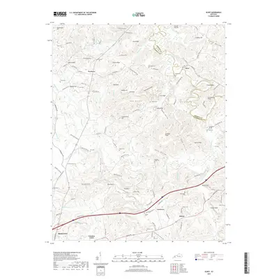
1967 Crider
Caldwell County, KY
1967 Olney
Caldwell County, KY
1967 Princeton East
Caldwell County, KY
1967 Princeton West
Caldwell County, KY
2010 Crider
Caldwell County, KY
2010 Olney
Caldwell County, KY
2010 Princeton East
Caldwell County, KY
2010 Princeton West
Caldwell County, KY
2013 Crider
Caldwell County, KY
2013 Olney
Caldwell County, KY
2013 Princeton East
Caldwell County, KY
2013 Princeton West
Caldwell County, KY
2016 Crider
Caldwell County, KY
2016 Olney
Caldwell County, KY
2016 Princeton East
Caldwell County, KY
2016 Princeton West
Caldwell County, KY
2019 Crider
Caldwell County, KY
2019 Olney
Caldwell County, KY
2019 Princeton East
Caldwell County, KY
2019 Princeton West
Caldwell County, KY
2022 Crider
Caldwell County, KY
2022 Olney
Caldwell County, KY
2022 Princeton East
Caldwell County, KY
2022 Princeton West
Caldwell County, KY