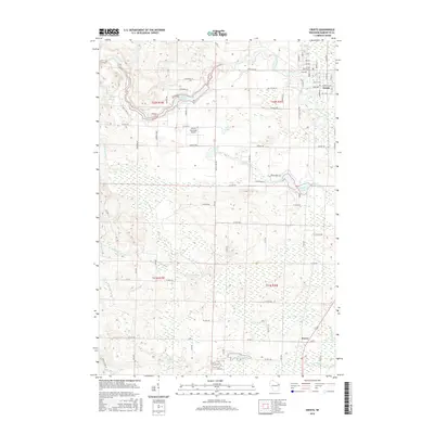
2015 Map of Crivitz
USGS Topo · Published 2015About this map
The Peshtigo River winds through this portion of Marinette County, creating a landscape defined by water and woods near the settlement of Crivitz. The river is marked by the Spring Rapids in the northwest and the expansive Sandstone Reservoir, which sits amidst a network of rural roads such as Schroeder Ln and Jankowski Ln. In the village center, the E & LS RR tracks run north-south, passing near the Crivitz Sch and religious landmarks like St Marys Ch and its accompanying St Marys Cem.
Find a feature on this map
91 named features on this map. Tap any name to fly to it.
Don’t see what you’re looking for? This feature index may not catch every label — zoom into the map to look around manually.
Map Details
Editions of this 2015 Crivitz Map
This is the sole edition of this map. No revisions or reprints were ever made.
Other maps of this area

1939 · Porterfield
USGS Topo · 1:48,000

1940 · Athelstane
USGS Topo · 1:48,000

1941 · Coleman
USGS Topo · 1:48,000

1942 · Athelstane
USGS Topo · 1:48,000

1942 · Coleman
USGS Topo · 1:48,000

1942 · Porterfield
USGS Topo · 1:48,000

1942 · Wausaukee
USGS Topo · 1:48,000

1947 · Wausaukee
USGS Topo · 1:48,000

1950 · Coleman
USGS Topo · 1:48,000

1954 · Iron Mountain
USGS Topo · 1:250,000