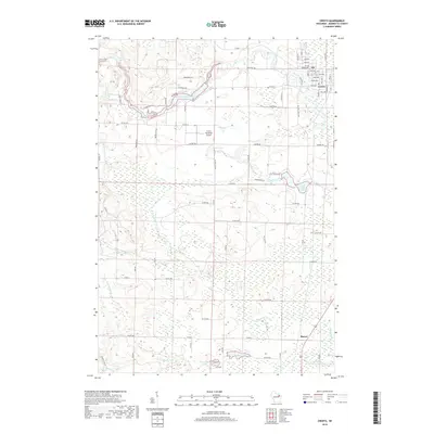
2018 Map of Crivitz
USGS Topo · Published 2018About this map
The Peshtigo River winds through this landscape in northeastern Wisconsin, defining the character of Crivitz as it passes from Spring Rapids through the Sandstone Reservoir. The village of Crivitz serves as a local hub, featuring the Crivitz Municipal Airport and a grid of residential streets like Main Ave and Hall Ave. To the south, the settlement of Beaver sits near the headwaters of the North and South Branches of Beaver Creek, illustrating a transition into more rural agricultural and wetland terrain.
Find a feature on this map
81 named features on this map. Tap any name to fly to it.
Don’t see what you’re looking for? This feature index may not catch every label — zoom into the map to look around manually.
Map Details
Editions of this 2018 Crivitz Map
This is the sole edition of this map. No revisions or reprints were ever made.
Other maps of this area

1939 · Porterfield
USGS Topo · 1:48,000

1940 · Athelstane
USGS Topo · 1:48,000

1941 · Coleman
USGS Topo · 1:48,000

1942 · Athelstane
USGS Topo · 1:48,000

1942 · Coleman
USGS Topo · 1:48,000

1942 · Porterfield
USGS Topo · 1:48,000

1942 · Wausaukee
USGS Topo · 1:48,000

1947 · Wausaukee
USGS Topo · 1:48,000

1950 · Coleman
USGS Topo · 1:48,000

1954 · Iron Mountain
USGS Topo · 1:250,000