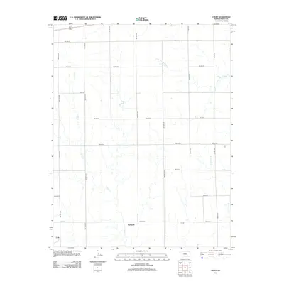
2012 Map of Croft
USGS Topo · Published 2012About this map
Springvale and the surrounding Pratt County ranchlands define this survey of south-central Kansas. The landscape is characterized by a precise grid of rural roads, including SW 140th Ave and SW 20th St, which frame the headwaters and tributaries of several prairie waterways. Local history is anchored by small community hubs and cemeteries, such as Sunset Cem in the north and E Slope Cem near the southern boundary.
Find a feature on this map
24 named features on this map. Tap any name to fly to it.
Don’t see what you’re looking for? This feature index may not catch every label — zoom into the map to look around manually.
Map Details
Editions of this 2012 Croft Map
This is the sole edition of this map. No revisions or reprints were ever made.
Other maps of this area

1889 · Kinsley
USGS Topo · 1:125,000

1891 · Medicine Lodge
USGS Topo · 1:125,000

1892 · Kinsley
USGS Topo · 1:125,000

1892 · Coldwater
USGS Topo · 1:125,000

1892 · Pratt
USGS Topo · 1:125,000

1893 · Medicine Lodge
USGS Topo · 1:125,000

1894 · Kinsley
USGS Topo · 1:125,000

1894 · Pratt
USGS Topo · 1:125,000

1955 · Pratt
USGS Topo · 1:250,000

1959 · Pratt
USGS Topo · 1:250,000