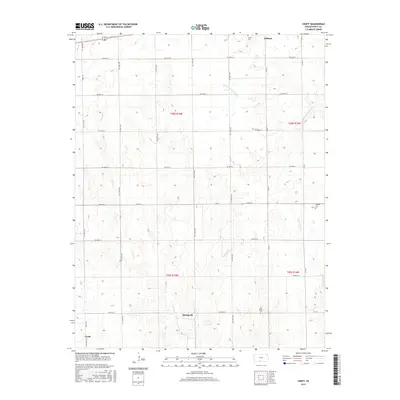
2015 Map of Croft
USGS Topo · Published 2015About this map
The S Fork Ninnescah River and its tributaries define the rolling landscape of eastern Pratt County. Small settlements and local landmarks dot the grid of section-line roads, with Springvale and Croft serving as primary local identifiers in the southern reaches of the map. To the north, Cullison sits near the upper drainage of the Ninnescah, while scattered rural cemeteries such as Sunset Cem, East Slope Cem, and Jenkins Cem provide critical points of interest for genealogists and local historians. This landscape is characterized by its drainage patterns, including Turkey Cr and the W Br S Elm Cr, which break up the expansive agricultural survey units and dictate the placement of earlier homesteads and current road networks.
Find a feature on this map
32 named features on this map. Tap any name to fly to it.
Don’t see what you’re looking for? This feature index may not catch every label — zoom into the map to look around manually.
Map Details
Editions of this 2015 Croft Map
This is the sole edition of this map. No revisions or reprints were ever made.
Other maps of this area
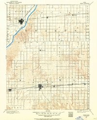
1889 · Kinsley
USGS Topo · 1:125,000
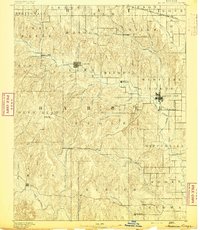
1891 · Medicine Lodge
USGS Topo · 1:125,000
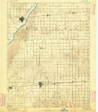
1892 · Kinsley
USGS Topo · 1:125,000
1892 · Coldwater
USGS Topo · 1:125,000
1892 · Pratt
USGS Topo · 1:125,000
1893 · Medicine Lodge
USGS Topo · 1:125,000
1894 · Kinsley
USGS Topo · 1:125,000
1894 · Pratt
USGS Topo · 1:125,000
1955 · Pratt
USGS Topo · 1:250,000
1959 · Pratt
USGS Topo · 1:250,000