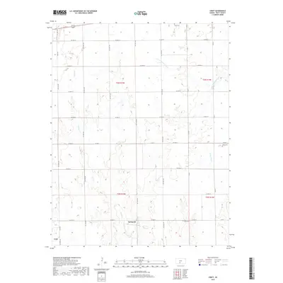
2018 Map of Croft
USGS Topo · Published 2018About this map
Springvale and the small community of Croft anchor this rural landscape in Pratt County, where agricultural sections are neatly divided by a grid of local roads and state highways. The terrain is defined by its seasonal drainage patterns, most notably the path of the S Fork Ninnescah River crossing the northern territory and the meandering course of Turkey Cr through the central and southern reaches.
Find a feature on this map
31 named features on this map. Tap any name to fly to it.
Don’t see what you’re looking for? This feature index may not catch every label — zoom into the map to look around manually.
Map Details
Editions of this 2018 Croft Map
This is the sole edition of this map. No revisions or reprints were ever made.
Other maps of this area
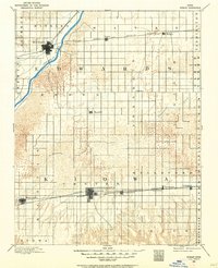
1889 · Kinsley
USGS Topo · 1:125,000
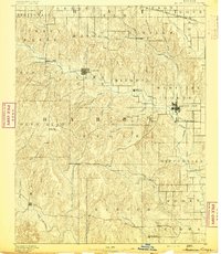
1891 · Medicine Lodge
USGS Topo · 1:125,000
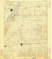
1892 · Kinsley
USGS Topo · 1:125,000
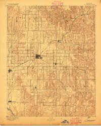
1892 · Coldwater
USGS Topo · 1:125,000
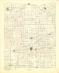
1892 · Pratt
USGS Topo · 1:125,000
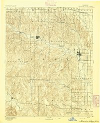
1893 · Medicine Lodge
USGS Topo · 1:125,000
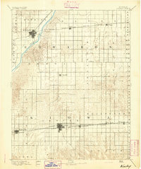
1894 · Kinsley
USGS Topo · 1:125,000
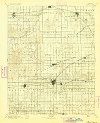
1894 · Pratt
USGS Topo · 1:125,000
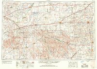
1955 · Pratt
USGS Topo · 1:250,000
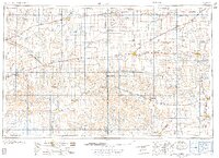
1959 · Pratt
USGS Topo · 1:250,000