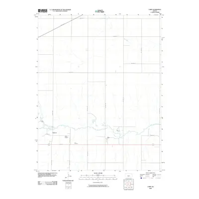
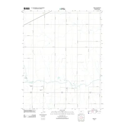
2022 Map of Croft
USGS Topo · Published 2022About this map
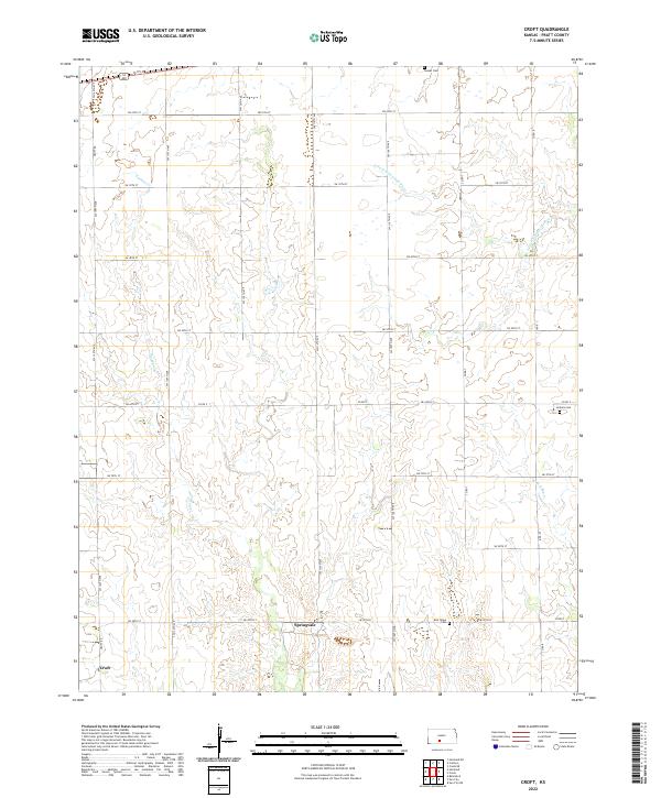
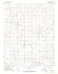
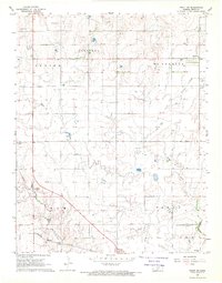
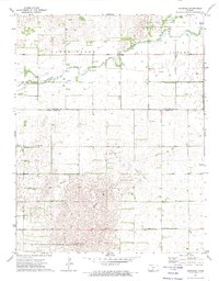
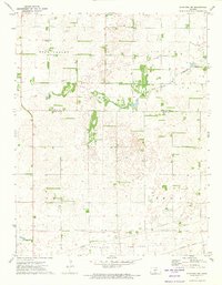
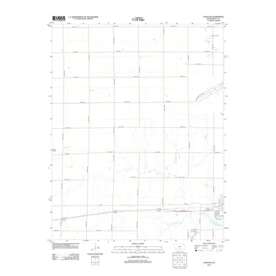
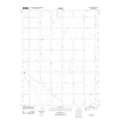
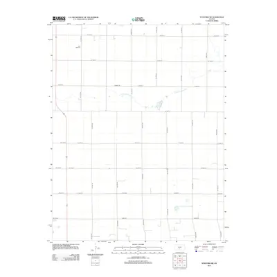
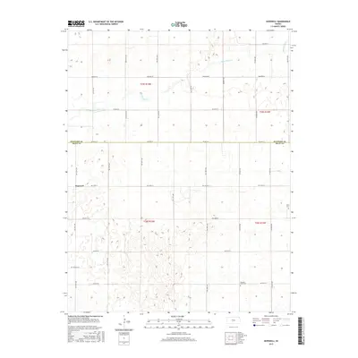
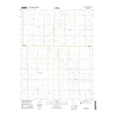
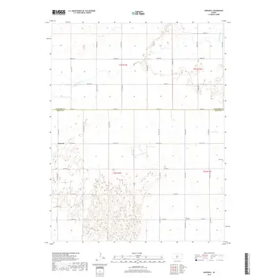
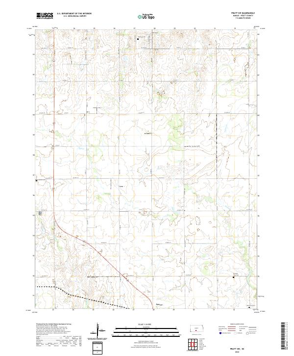
Springvale and the surrounding agricultural landscape in Pratt County characterize this modern topographic perspective. The terrain is defined by the winding course of the S Fork Ninnescah River in the northeast and Turkey Cr to the west, where drainage patterns shape the section lines of the Kansas plains. Local history is anchored by several burial sites, including Sunset Cem near the northern boundary and East Slope Cem just east of the Springvale settlement. In the southwest corner, the small community of Croft sits at the intersection of SW 140th Ave and the section roads, illustrating the enduring grid system that governs the region's rural geography. The map also traces the headwaters of W Br S Elm Cr, providing a detailed look at the hydrology of the High Plains transition.
Find a feature on this map
30 named features on this map. Tap any name to fly to it.
Don’t see what you’re looking for? This feature index may not catch every label — zoom into the map to look around manually.
Map Details
Editions of this 2022 Croft Map
This is the sole edition of this map. No revisions or reprints were ever made.
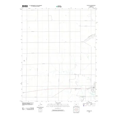
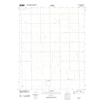
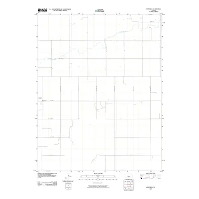
Historical Maps of Springvale Through Time
42 maps found
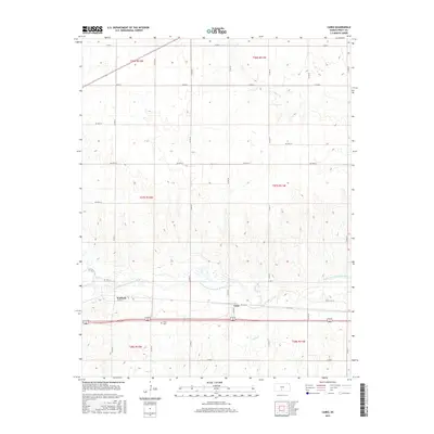
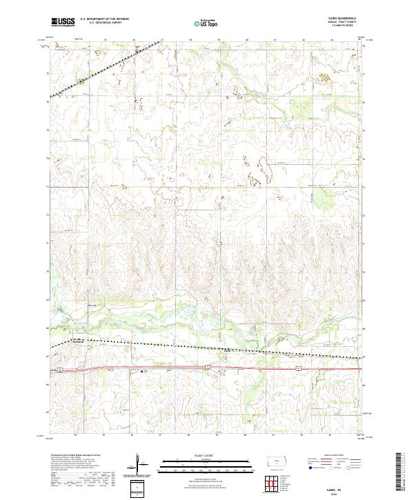
1967 Cairo
Pratt County, KS
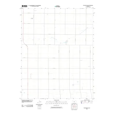
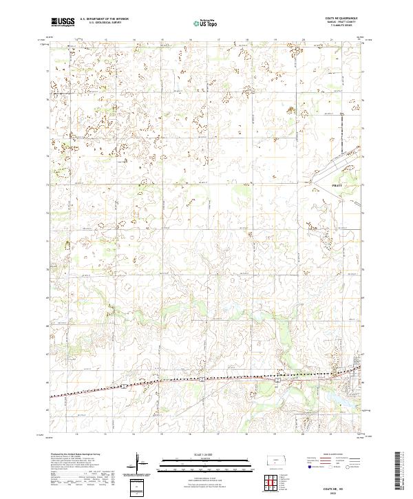
1968 Coats NE
Pratt County, KS
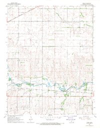
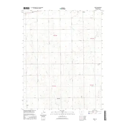
1968 Croft
Pratt County, KS
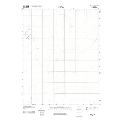
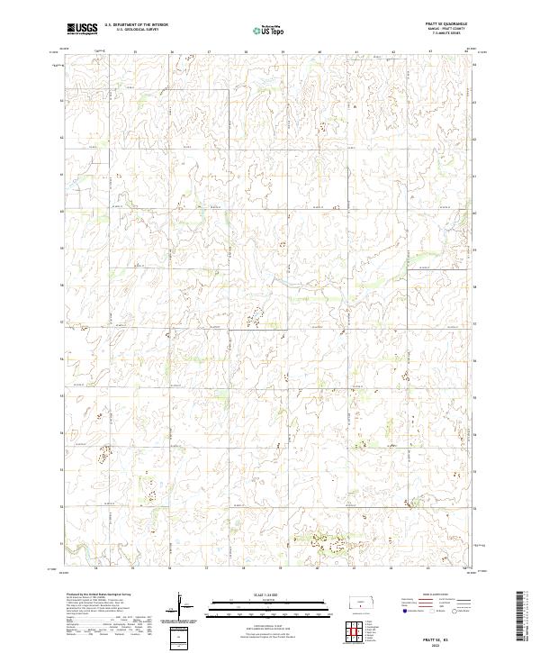
1968 Pratt SE
Pratt County, KS
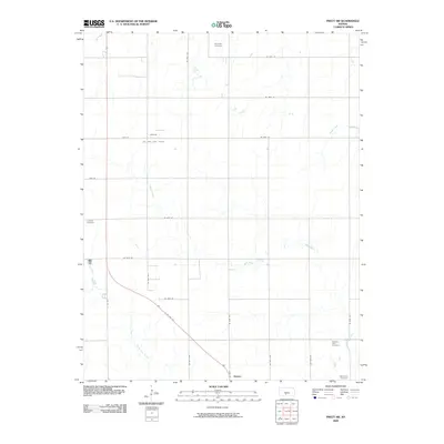
1968 Pratt SW
Pratt County, KS
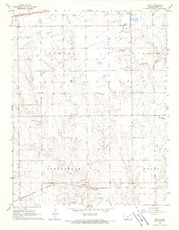
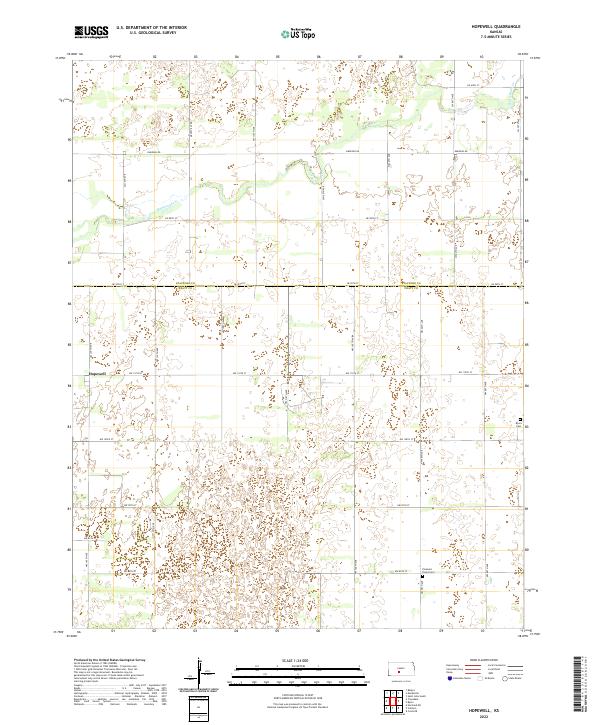
1971 Hopewell
Pratt County, KS
1971 Stafford SW
Pratt County, KS
2009 Cairo
Pratt County, KS
2009 Coats NE
Pratt County, KS
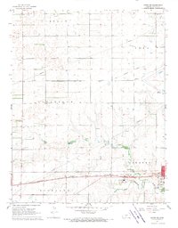
2009 Croft
Pratt County, KS
2009 Hopewell
Pratt County, KS
2009 Pratt SE
Pratt County, KS
2009 Pratt SW
Pratt County, KS
2009 Stafford SW
Pratt County, KS
2012 Cairo
Pratt County, KS
2012 Coats NE
Pratt County, KS
2012 Croft
Pratt County, KS
2012 Hopewell
Pratt County, KS
2012 Pratt SE
Pratt County, KS
2012 Pratt SW
Pratt County, KS
2012 Stafford SW
Pratt County, KS
2015 Cairo
Pratt County, KS
2015 Croft
Pratt County, KS
2015 Hopewell
Pratt County, KS
2015 Pratt SE
Pratt County, KS
2015 Pratt SW
Pratt County, KS
2016 Coats NE
Pratt County, KS
2016 Stafford SW
Pratt County, KS
2018 Cairo
Pratt County, KS
2018 Coats NE
Pratt County, KS
2018 Croft
Pratt County, KS
2018 Hopewell
Pratt County, KS
2018 Pratt SE
Pratt County, KS
2018 Pratt SW
Pratt County, KS
2018 Stafford SW
Pratt County, KS
2022 Cairo
Pratt County, KS
2022 Coats NE
Pratt County, KS
2022 Croft
Pratt County, KS
2022 Hopewell
Pratt County, KS
2022 Pratt SE
Pratt County, KS
2022 Pratt SW
Pratt County, KS
2022 Stafford SW
Pratt County, KS