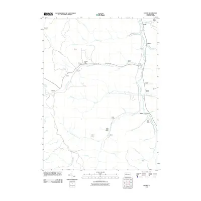
2010 Map of Crosby
USGS Topo · Published 2010About this map
Potato Creek and its many winding tributaries define the topography of this pocket of McKean County. The landscape is deeply carved by numerous hollows, including Spangler Hollow, Wernwag Hollow, and Browns Mill Hollow, suggesting a history of small-scale milling and homesteading along the narrow valley floors. Small settlements like Clermont and Betula are linked by rural routes such as Shawmut Gr Rd, while the eastern edge follows the corridor of Potato Creek where Crosby and Colegrove are situated. Genealogists can find the Clermont Cemetery and Norwich Cemetery established near these old hamlets. The distribution of features like Hamlin Station and Bunker Hill reflects a rural Pennsylvania economy built around the drainage basins of the West Branch Potato Creek.
Find a feature on this map
54 named features on this map. Tap any name to fly to it.
Don’t see what you’re looking for? This feature index may not catch every label — zoom into the map to look around manually.
Map Details
Editions of this 2010 Crosby Map
This is the sole edition of this map. No revisions or reprints were ever made.
Other maps of this area

1924 · Bradford
USGS Topo · 1:62,500

1926 · Bradford
USGS Topo · 1:62,500

1933 · Smethport
USGS Topo · 1:62,500

1935 · Mt. Jewett
USGS Topo · 1:48,000

1937 · Smethport
USGS Topo · 1:62,500

1940 · Mt. Jewett
USGS Topo · 1:62,500

1941 · Bradford
USGS Topo · 1:62,500

1944 · Bradford
USGS Topo · 1:62,500

1948 · Crosby
USGS Topo · 1:62,500

1948 · Wildwood Fire Tower
USGS Topo · 1:24,000
Featured Places
- Norwich Township, PA
- Betula, Norwich Township
- Clermont, Sergeant Township
- Jones Township, PA
- Sergeant Township, PA