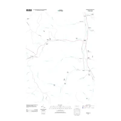
2013 Map of Crosby
USGS Topo · Published 2013About this map
Crosby and Hamlin Station anchor the eastern corridor of this terrain, where the northern waters of Potato Cr cut through a landscape defined by an intricate network of hollows. The settlement pattern follows the valley floor, with Colegrove and Betula positioned along the primary transport routes that parallel the stream. To the west, the land rises toward Bunker Hill and is carved by Red Mill Brook, which leads toward the village of Clermont.
Find a feature on this map
66 named features on this map. Tap any name to fly to it.
Don’t see what you’re looking for? This feature index may not catch every label — zoom into the map to look around manually.
Map Details
Editions of this 2013 Crosby Map
This is the sole edition of this map. No revisions or reprints were ever made.
Other maps of this area

1924 · Bradford
USGS Topo · 1:62,500

1926 · Bradford
USGS Topo · 1:62,500

1933 · Smethport
USGS Topo · 1:62,500

1935 · Mt. Jewett
USGS Topo · 1:48,000

1937 · Smethport
USGS Topo · 1:62,500

1940 · Mt. Jewett
USGS Topo · 1:62,500

1941 · Bradford
USGS Topo · 1:62,500

1944 · Bradford
USGS Topo · 1:62,500

1948 · Crosby
USGS Topo · 1:62,500

1948 · Wildwood Fire Tower
USGS Topo · 1:24,000
Featured Places
- Norwich Township, PA
- Betula, Norwich Township
- Clermont, Sergeant Township
- Jones Township, PA
- Sergeant Township, PA