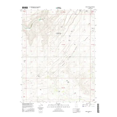
2017 Map of Cross Canyon
USGS Topo · Published 2017About this map
Canyonlands National Park dominates this corner of San Juan County, where the Colorado River carves through the sandstone landscape at the confluence of Garfield and San Juan counties. The map details a complex network of geological formations and remote backcountry routes, including Devils Lane Road and the Bobbys Hole Road which navigate around prominent features like Calamity Mesa and Chocolate Drops.
Find a feature on this map
72 named features on this map. Tap any name to fly to it.
Don’t see what you’re looking for? This feature index may not catch every label — zoom into the map to look around manually.
Map Details
Editions of this 2017 Cross Canyon Map
This is the sole edition of this map. No revisions or reprints were ever made.
Other maps of this area

1885 · San Rafael
USGS Topo · 1:250,000

1885 · La Sal
USGS Topo · 1:250,000

1886 · Henry Mountains
USGS Topo · 1:250,000

1886 · Abajo
USGS Topo · 1:250,000

1892 · Abajo
USGS Topo · 1:250,000

1892 · Henry Mountains
USGS Topo · 1:250,000

1893 · Abajo
USGS Topo · 1:250,000

1935 · Elk Ridge
USGS Topo · 1:96,000

1940 · Elk Ridge
USGS Topo · 1:125,000

1952 · Mouth of Dark Canyon
USGS Topo · 1:62,500