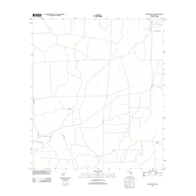
2012 Map of Cross City SW
USGS Topo · Published 2012About this map
Sandhill Cem sits at a junction of rural tracks in this Dixie County landscape, reflecting the long-standing community roots in the Florida panhandle. The area is defined by a network of specialized routes, including Bollegs Mainline and Rockwell Camp Rd, which likely supported local timber or agricultural operations. Near the southwestern reaches, the Horseshoe Lookout Tower overlooks a terrain drained by Lilly Cr and Fishbone Cr, where water collects in Station Lake before reaching the low-lying Davis Island. The map illustrates a transitional environment where formal county highways like Co HWY 357 meet property-specific names like Circle Bar Ranch Rd and Rudolph Parrot Rd, capturing the balance between public infrastructure and private land use in the early 21st century.
Find a feature on this map
15 named features on this map. Tap any name to fly to it.
Don’t see what you’re looking for? This feature index may not catch every label — zoom into the map to look around manually.
Map Details
Editions of this 2012 Cross City SW Map
This is the sole edition of this map. No revisions or reprints were ever made.
Other maps of this area

1954 · Cross City West
USGS Topo · 1:24,000

1954 · Eugene
USGS Topo · 1:24,000

1954 · Cross City East
USGS Topo · 1:24,000

1954 · Jena
USGS Topo · 1:24,000

1954 · Steinhatchee SE
USGS Topo · 1:24,000

1954 · Cross City SW
USGS Topo · 1:24,000

1954 · Horseshoe Beach
USGS Topo · 1:24,000

1954 · Vista
USGS Topo · 1:24,000

1954 · Gainesville
USGS Topo · 1:250,000

1955 · Shired Island
USGS Topo · 1:24,000