
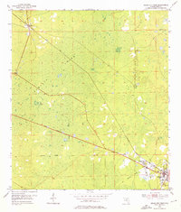
1954 Map of Cross City West
USGS Topo · Published 1955About this map
The low-lying wetlands of Pumpkin Swamp dominate this mid-century survey of Dixie County, Florida. In the southeastern corner, the settlement of Cross City appears as the primary hub of activity, closely flanked by the community of Shamrock. This area shows a transition from the structured street grids of the towns into the surrounding marshlands, where the industrial legacy of the region is visible through its transportation networks. The Atlantic Coast Line railroad cuts diagonally across the landscape, while an Old Railroad Grade further south indicates earlier timber or freight routes that once penetrated deeper into the swamp. To the northwest, the small settlement of Hines is marked by the presence of the Hines Lookout Tower, a critical landmark for monitoring the expansive and fire-prone pine and cypress territories that characterize this section of the Florida Gulf coastal plain.
Find a feature on this map
7 named features on this map. Tap any name to fly to it.
Don’t see what you’re looking for? This feature index may not catch every label — zoom into the map to look around manually.
Map Details
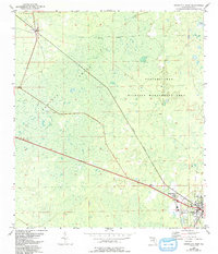
Editions of this 1954 Cross City West Map
3 editions found
Other maps of this area

1954 · Eugene
USGS Topo · 1:24,000

1954 · Clara
USGS Topo · 1:24,000

1954 · Cross City East
USGS Topo · 1:24,000

1954 · Mallory Swamp SW
USGS Topo · 1:24,000

1954 · Jena
USGS Topo · 1:24,000

1954 · Steinhatchee SE
USGS Topo · 1:24,000

1954 · Mallory Swamp SE
USGS Topo · 1:24,000

1954 · Cross City SW
USGS Topo · 1:24,000

1954 · Gainesville
USGS Topo · 1:250,000

1956 · Mallory Swamp SE
USGS Topo · 1:25,000