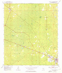
1954 Map of Cross City West
USGS Topo · Published 1988About this map
Pumpkin Swamp dominates the center of this Dixie County landscape, illustrating the wet, low-lying environment of the Florida Gulf coast region in the mid-1950s. The settlement of Cross City occupies the southeastern corner, serving as a hub where the Atlantic Coast Line railroad and a new roadway marked Under Construction converge. This period of infrastructure development is further evidenced by several stretches of Old Railroad Grade, showing the evolution of transport through the swampy interior. To the northwest, the small settlement of Hines is anchored by the Hines Lookout Tower, while the community of Shamrock sits just west of the county seat. The map reveals a transition from a reliance on established rail lines to a modernizing road network during the post-war era.
Find a feature on this map
8 named features on this map. Tap any name to fly to it.
Don’t see what you’re looking for? This feature index may not catch every label — zoom into the map to look around manually.
Map Details
Editions of this 1954 Cross City West Map
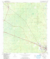
3 editions found
Other maps of this area

1954 · Cross City West
USGS Topo · 1:24,000

1954 · Eugene
USGS Topo · 1:24,000

1954 · Clara
USGS Topo · 1:24,000

1954 · Cross City East
USGS Topo · 1:24,000

1954 · Mallory Swamp SW
USGS Topo · 1:24,000

1954 · Jena
USGS Topo · 1:24,000

1954 · Steinhatchee SE
USGS Topo · 1:24,000

1954 · Mallory Swamp SE
USGS Topo · 1:24,000

1954 · Cross City SW
USGS Topo · 1:24,000

1954 · Gainesville
USGS Topo · 1:250,000