
1954 Map of Mallory Swamp SW
USGS Topo · Published 1955About this map
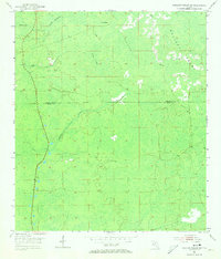
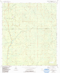
Mallory Swamp dominates this remote stretch of the Florida Big Bend, captured here during a 1954 topographical survey. The map details a largely unsettled interior landscape along the border of Lafayette and Dixie Counties, characterized by extensive wetlands and isolated high points. Subtle variations in the terrain are marked by features like Buck Island and Knife Hammock, which stand as landmarks within the broader expanse of the Rawhide Bog.
Find a feature on this map
9 named features on this map. Tap any name to fly to it.
Don’t see what you’re looking for? This feature index may not catch every label — zoom into the map to look around manually.
Map Details
Editions of this 1954 Mallory Swamp SW Map
3 editions found
Other maps of this area

1954 · Mallory Swamp NW
USGS Topo · 1:24,000

1954 · Cross City West
USGS Topo · 1:24,000

1954 · Clara
USGS Topo · 1:24,000

1954 · Cross City East
USGS Topo · 1:24,000

1954 · Jena
USGS Topo · 1:24,000

1954 · Cooks Hammock
USGS Topo · 1:24,000

1954 · Mallory Swamp SE
USGS Topo · 1:24,000

1954 · Mallory Swamp NE
USGS Topo · 1:24,000

1954 · Gainesville
USGS Topo · 1:250,000
1956 · Mallory Swamp NW
USGS Topo · 1:25,000