
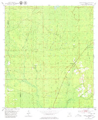
1954 Map of Cooks Hammock
USGS Topo · Published 1955About this map
Cooks Hammock serves as the central focal point of this mid-century Florida survey, situated amidst the dense wetland network where Lafayette and Taylor counties meet. The landscape is defined by an intricate drainage system feeding into the Steinhatchee River and Patterson River at the bottom of the sheet. Notable water features like Dowdy Pond, Wolf Pond, and Ever Pond dot the marshy interior, while the presence of Coon Bay and Oak Heads indicates the varied vegetation of this low-lying region.
Find a feature on this map
25 named features on this map. Tap any name to fly to it.
Don’t see what you’re looking for? This feature index may not catch every label — zoom into the map to look around manually.
Map Details
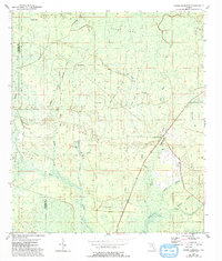
Editions of this 1954 Cooks Hammock Map
3 editions found
Other maps of this area

1954 · Mallory Swamp NW
USGS Topo · 1:24,000

1954 · Fenholloway
USGS Topo · 1:24,000

1954 · Day SE
USGS Topo · 1:24,000

1954 · Clara
USGS Topo · 1:24,000

1954 · Salem SW
USGS Topo · 1:24,000

1954 · Mallory Swamp SW
USGS Topo · 1:24,000

1954 · Salem
USGS Topo · 1:24,000

1954 · Gainesville
USGS Topo · 1:250,000

1954 · Valdosta
USGS Topo · 1:250,000

1955 · Mayo
USGS Topo · 1:24,000