
1954 Map of Day SE
USGS Topo · Published 1955About this map
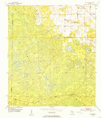
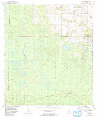
The vast wetland of San Pedro Bay dominates this mid-century landscape on the border of Taylor and Lafayette Counties. The terrain is characterized by a series of distinct sogs and bays, including Fire Pan Sog, Blue Sog, and Horton Sog, suggesting a seasonally saturated environment where travel was likely limited to specific elevated paths. Small settlements and specialized outposts are scattered throughout the region, such as Paremore Camp and Bromley Camp, which likely served timber or agricultural interests in the Florida interior.
Find a feature on this map
20 named features on this map. Tap any name to fly to it.
Don’t see what you’re looking for? This feature index may not catch every label — zoom into the map to look around manually.
Map Details
Editions of this 1954 Day SE Map
3 editions found
Other maps of this area

1954 · Mallory Swamp NW
USGS Topo · 1:24,000

1954 · Fenholloway
USGS Topo · 1:24,000

1954 · Day
USGS Topo · 1:24,000

1954 · Cooks Hammock
USGS Topo · 1:24,000

1954 · Salem
USGS Topo · 1:24,000

1954 · Dowling Park
USGS Topo · 1:24,000

1954 · Day NW
USGS Topo · 1:24,000

1954 · Gainesville
USGS Topo · 1:250,000

1954 · Valdosta
USGS Topo · 1:250,000

1955 · Mayo
USGS Topo · 1:24,000