
1954 Map of Salem
USGS Topo · Published 1955About this map
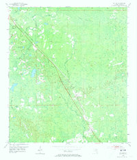
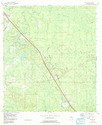
The Atlantic Coast Line railroad cuts a sharp diagonal through this 1954 landscape of Taylor County, Florida, connecting the small settlements of Athena, Carbur, and Salem. This low-lying coastal plain is characterized by a complex network of wetlands and intermittent drainages, including the expansive area known as The Meadows and the winding course of Warrior Creek. Small-scale features such as Clay Hole Pond and Lily Pond dot the terrain, while the local social fabric is anchored by the Athena Ch and the Salem Cem. The map reveals a rural economy tied to the land and the rails, with various benchmark stations like BM 54 and BM 52 recording the subtle elevation changes across this forested and marshy environment.
Find a feature on this map
19 named features on this map. Tap any name to fly to it.
Don’t see what you’re looking for? This feature index may not catch every label — zoom into the map to look around manually.
Map Details
Editions of this 1954 Salem Map
3 editions found
Other maps of this area

1954 · Fenholloway
USGS Topo · 1:24,000

1954 · Day SE
USGS Topo · 1:24,000

1954 · Clara
USGS Topo · 1:24,000

1954 · Salem SW
USGS Topo · 1:24,000

1954 · Cooks Hammock
USGS Topo · 1:24,000

1954 · Warrior Swamp
USGS Topo · 1:24,000

1954 · Keaton Beach
USGS Topo · 1:24,000

1954 · Gainesville
USGS Topo · 1:250,000

1954 · Valdosta
USGS Topo · 1:250,000

1955 · Perry
USGS Topo · 1:24,000