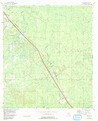
1954 Map of Salem
USGS Topo · Published 1993About this map
Salem and Athena anchor the northern and southern stretches of this Taylor County landscape, which transitions between expansive marshy flats and dense wetland drainage systems. The settlement pattern is largely defined by the path of Highway 98 as it cuts diagonally across the coastal plain. Local life in the mid-1950s centered around these small hubs, where the Athena Ch and Salem Cem served the surrounding rural population.
Find a feature on this map
30 named features on this map. Tap any name to fly to it.
Don’t see what you’re looking for? This feature index may not catch every label — zoom into the map to look around manually.
Map Details
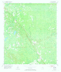
Editions of this 1954 Salem Map
3 editions found
Other maps of this area

1954 · Fenholloway
USGS Topo · 1:24,000

1954 · Day SE
USGS Topo · 1:24,000

1954 · Clara
USGS Topo · 1:24,000

1954 · Salem SW
USGS Topo · 1:24,000

1954 · Cooks Hammock
USGS Topo · 1:24,000

1954 · Warrior Swamp
USGS Topo · 1:24,000

1954 · Salem
USGS Topo · 1:24,000

1954 · Keaton Beach
USGS Topo · 1:24,000

1954 · Gainesville
USGS Topo · 1:250,000

1954 · Valdosta
USGS Topo · 1:250,000