
1954 Map of Salem SW
USGS Topo · Published 1955About this map
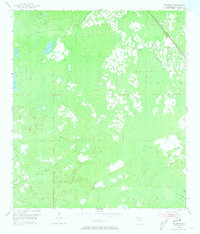
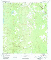
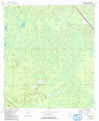
Salem Lookout Tower stands as a primary landmark in this 1954 survey of the Florida Gulf Coast interior. The landscape is characterized by its complex hydrology and low-lying depressions, including California Sinks, Minom Sag, and Coker Sag. Transportation history is clearly etched into the terrain, showing the active Atlantic Coast Line railroad alongside evidence of older infrastructure such as the Old Railroad Grade. This transition of rail use suggests a shifting economy as the region's timber and natural resources were accessed and moved. Isolated water sources like Dallis Waterhole and small drainages such as California Creek and Begins Creek define the navigation of this marshy expanse, providing essential details for those tracing the historical geography of Taylor County.
Find a feature on this map
11 named features on this map. Tap any name to fly to it.
Don’t see what you’re looking for? This feature index may not catch every label — zoom into the map to look around manually.
Map Details
Editions of this 1954 Salem SW Map
4 editions found
Other maps of this area

1954 · Clara
USGS Topo · 1:24,000

1954 · Jena
USGS Topo · 1:24,000

1954 · Cooks Hammock
USGS Topo · 1:24,000

1954 · Warrior Swamp
USGS Topo · 1:24,000

1954 · Salem
USGS Topo · 1:24,000

1954 · Steinhatchee
USGS Topo · 1:24,000

1954 · Keaton Beach
USGS Topo · 1:24,000

1954 · Crooked Point
USGS Topo · 1:24,000

1954 · Gainesville
USGS Topo · 1:250,000

1958 · Gainesville
USGS Topo · 1:250,000