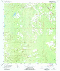
1954 Map of Salem Sw
USGS Topo · Published 1988About this map
The Salem Lookout Tower stands as a prominent sentinel over this pocket of Taylor County, Florida, during the mid-1950s. The landscape is defined by its intricate hydrological network, where numerous waterbodies such as California Sinks and the Dallis Waterhole are interspersed throughout the low-lying terrain. Features like Minom Sog and Coker Sog suggest a specialized local vocabulary for the region's wetlands, reflecting the specific environmental character of this Gulf Coast hinterland. Industrial and transport history is visibly etched into the land via the Atlantic Coast Line railroad and an Old Railroad Grade that winds through the southern portion of the quadrangle. These routes, alongside watercourses like California Creek and Beetina Creek, provide a clear picture of how timber or transit once navigated this complex patchwork of water and wood.
Find a feature on this map
11 named features on this map. Tap any name to fly to it.
Don’t see what you’re looking for? This feature index may not catch every label — zoom into the map to look around manually.
Map Details
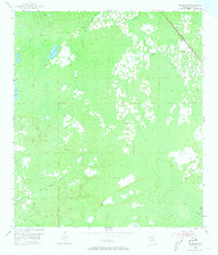
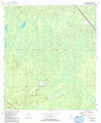
Editions of this 1954 Salem Sw Map
4 editions found
Other maps of this area

1954 · Clara
USGS Topo · 1:24,000

1954 · Salem SW
USGS Topo · 1:24,000

1954 · Jena
USGS Topo · 1:24,000

1954 · Cooks Hammock
USGS Topo · 1:24,000

1954 · Warrior Swamp
USGS Topo · 1:24,000

1954 · Salem
USGS Topo · 1:24,000

1954 · Steinhatchee
USGS Topo · 1:24,000

1954 · Keaton Beach
USGS Topo · 1:24,000

1954 · Crooked Point
USGS Topo · 1:24,000

1954 · Gainesville
USGS Topo · 1:250,000